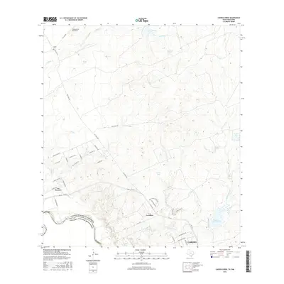
2016 Map of Cuervo Creek
USGS Topo · Published 2016About this map
Los Minerales and Los Corralitos sit at the intersection of industry and the international border in this 21st-century mapping of Northwest Laredo. The landscape is defined by its mining heritage, evidenced by a dense network of specialized transit routes including Cobalt Mine W Rd, Tin Mine W Rd, and Mercury Mine Rd. These corridors feed into the primary artery of Mines Rd FM 1472 N, which skirts the winding Rio Grande as it forms the boundary with Mexico.
Find a feature on this map
49 named features on this map. Tap any name to fly to it.
Don’t see what you’re looking for? This feature index may not catch every label — zoom into the map to look around manually.
Map Details
Editions of this 2016 Cuervo Creek Map
This is the sole edition of this map. No revisions or reprints were ever made.
Other maps of this area

1956 · Las Tiendas
USGS Topo · 1:62,500

1956 · Islitas
USGS Topo · 1:62,500

1956 · Laredo East
USGS Topo · 1:62,500

1956 · Webb
USGS Topo · 1:62,500

1956 · Laredo
USGS Topo · 1:250,000

1965 · Laredo West
USGS Topo · 1:24,000

1965 · Orvil
USGS Topo · 1:24,000

1965 · Cuervo Creek
USGS Topo · 1:24,000

1965 · Cerritos Blancos
USGS Topo · 1:24,000

1965 · Nido Ranch
USGS Topo · 1:24,000
Featured Places
- Laredo, TX
- Los Corralitos Colonia, TX
- Los Minerales Colonia, TX
- Ranchos Penitas West, TX
- Ranchos Penitas West Colonia, TX