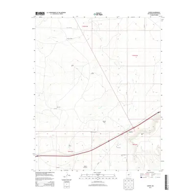
2013 Map of Cuervo
USGS Topo · Published 2013About this map
Cuervo sits at a geographic crossroads in Guadalupe County, where the modern interstate corridor parallels a landscape of traditional ranching and high-desert terrain. The map documents a territory defined by its water sources and mesa landforms, including the prominent Cuervo Mesa and Mesita Contadero. Evidence of long-standing family operations is visible through named features such as Latigo Ranch, Shell Latigo Rnch, and numerous vital water points like Gonzales Windmill and Tejon Windmill. The local heritage of the area is anchored by the Cuervo Cem and San Cristobal Cem, while the drainage network of Cuervo Cr and Cuervito Cr carves through the plains toward the taller heights of Cuervito Peak.
Find a feature on this map
26 named features on this map. Tap any name to fly to it.
Don’t see what you’re looking for? This feature index may not catch every label — zoom into the map to look around manually.
Map Details
Editions of this 2013 Cuervo Map
This is the sole edition of this map. No revisions or reprints were ever made.
Other maps of this area

1892 · Corazon
USGS Topo · 1:125,000

1894 · Corazon
USGS Topo · 1:125,000

1954 · Santa Fe
USGS Topo · 1:250,000

1954 · Fort Sumner
USGS Topo · 1:250,000

1958 · Fort Sumner
USGS Topo · 1:250,000

1958 · Santa Fe
USGS Topo · 1:250,000

1963 · Sunshine Mesa
USGS Topo · 1:24,000

1963 · Mesa Cherisco
USGS Topo · 1:24,000

1963 · Sacaton Draw
USGS Topo · 1:24,000

1963 · Mesita Del Gato
USGS Topo · 1:24,000