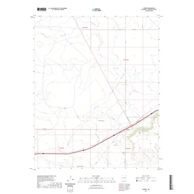
2023 Map of Cuervo
USGS Topo · Published 2023About this map
Cuervo sits as the primary settlement in this part of Guadalupe County, serving as a focal point where the modern thoroughfare meets local paths like Frontage Rd. The landscape is defined by its dramatic relief, characterized by prominent elevations such as Cuervito Peak and the expansive Cuervo Mesa. A network of drainage systems, including Cuervo Creek, Cuervito Creek, and Pajarito Creek, carves through the terrain, illustrating the hydrologic patterns of the high desert.
Find a feature on this map
26 named features on this map. Tap any name to fly to it.
Don’t see what you’re looking for? This feature index may not catch every label — zoom into the map to look around manually.
Map Details
Editions of this 2023 Cuervo Map
This is the sole edition of this map. No revisions or reprints were ever made.
Other maps of this area

1892 · Corazon
USGS Topo · 1:125,000

1894 · Corazon
USGS Topo · 1:125,000

1954 · Santa Fe
USGS Topo · 1:250,000

1954 · Fort Sumner
USGS Topo · 1:250,000

1958 · Fort Sumner
USGS Topo · 1:250,000

1958 · Santa Fe
USGS Topo · 1:250,000

1963 · Sunshine Mesa
USGS Topo · 1:24,000

1963 · Mesa Cherisco
USGS Topo · 1:24,000

1963 · Sacaton Draw
USGS Topo · 1:24,000

1963 · Mesita Del Gato
USGS Topo · 1:24,000