1913 Map of Cuhutta
USGS Topo · Published 1913About this map
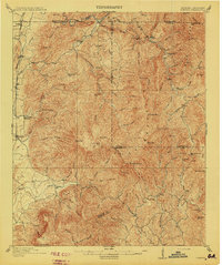
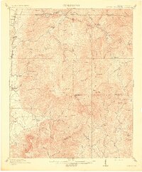
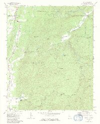
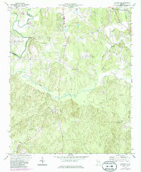
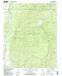
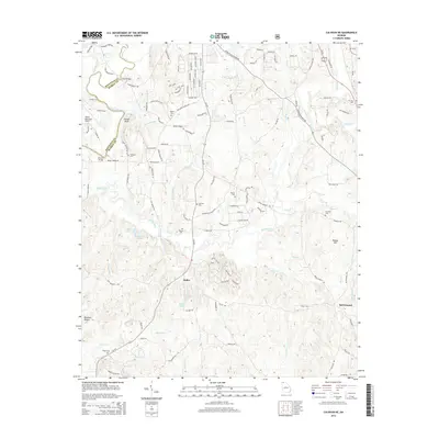
The Cohutta Mountains dominate this 1911 survey of the Georgia and Tennessee borderlands, revealing a landscape defined by sharp ridges and the winding courses of the Conasauga River and Jack's River. Along the western edge, the Nashville and Louisville RR serves as the primary artery of commerce, connecting small trackside settlements such as Crandall, Cisco, and Tennga. This rail corridor contrasts sharply with the interior wilderness of the mountains, where life centered on isolated landmarks like Cohutta Springs and Hassler Mill.
Find a feature on this map
75 named features on this map. Tap any name to fly to it.
Don’t see what you’re looking for? This feature index may not catch every label — zoom into the map to look around manually.
Map Details
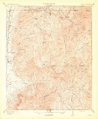
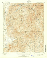
Editions of this 1913 Cuhutta Map
3 editions found
Historical Maps of Mountaintown Through Time
33 maps found
1911 Cohutta Mountain
Murray County, GA
1913 Cuhutta
Murray County, GA
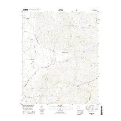
1968 Tennga
Murray County, GA
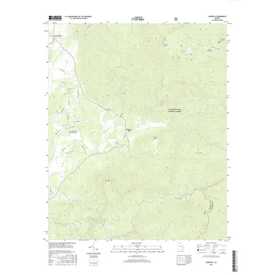
1971 Crandall
Murray County, GA
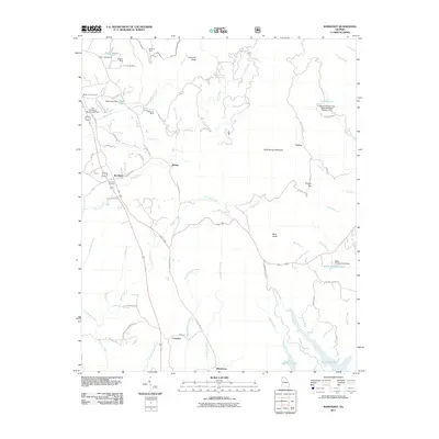
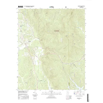
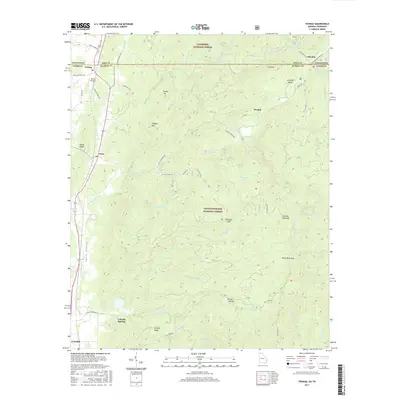
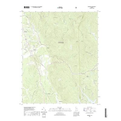
1971 Ramhurst
Murray County, GA
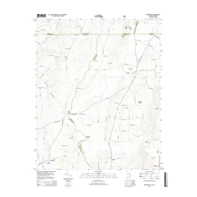
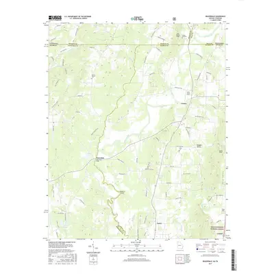
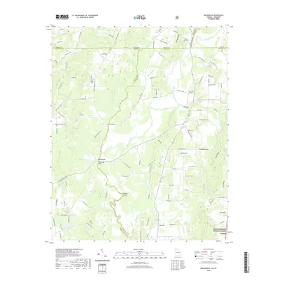
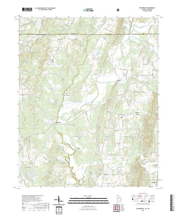
1972 Beaverdale
Murray County, GA
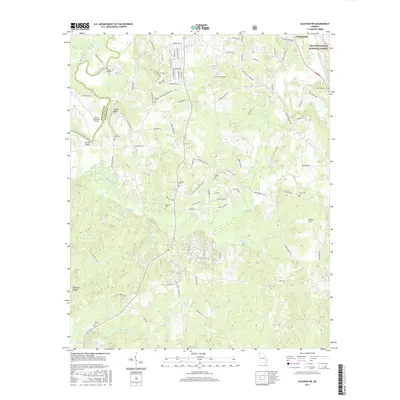
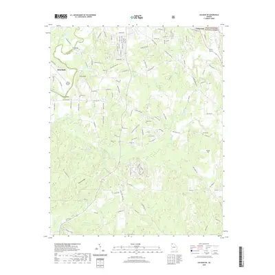
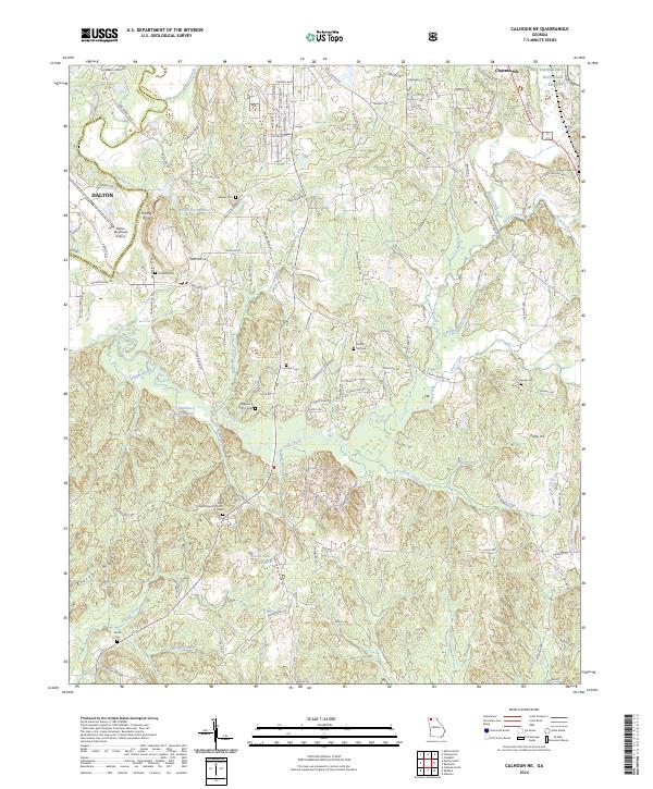
1972 Calhoun NE
Murray County, GA
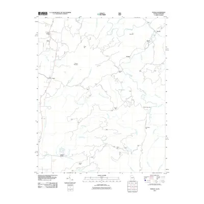
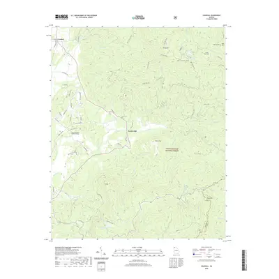
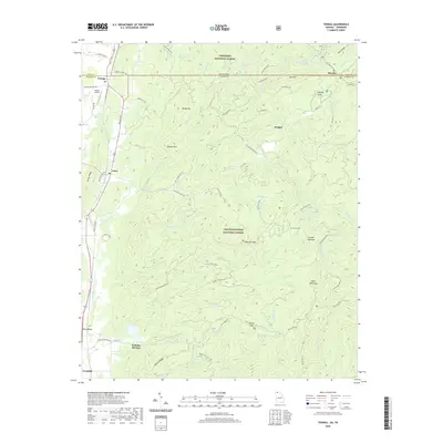
1997 Tennga
Murray County, GA
2011 Beaverdale
Murray County, GA
2011 Calhoun NE
Murray County, GA
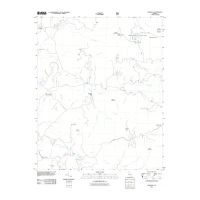
2011 Crandall
Murray County, GA
2011 Ramhurst
Murray County, GA
2011 Tennga
Murray County, GA
2014 Beaverdale
Murray County, GA
2014 Calhoun NE
Murray County, GA
2014 Crandall
Murray County, GA
2014 Ramhurst
Murray County, GA
2014 Tennga
Murray County, GA
2017 Beaverdale
Murray County, GA
2017 Calhoun NE
Murray County, GA
2017 Crandall
Murray County, GA
2017 Ramhurst
Murray County, GA
2017 Tennga
Murray County, GA
2020 Beaverdale
Murray County, GA
2020 Calhoun NE
Murray County, GA
2020 Crandall
Murray County, GA
2020 Ramhurst
Murray County, GA
2020 Tennga
Murray County, GA
2024 Beaverdale
Murray County, GA
2024 Calhoun NE
Murray County, GA
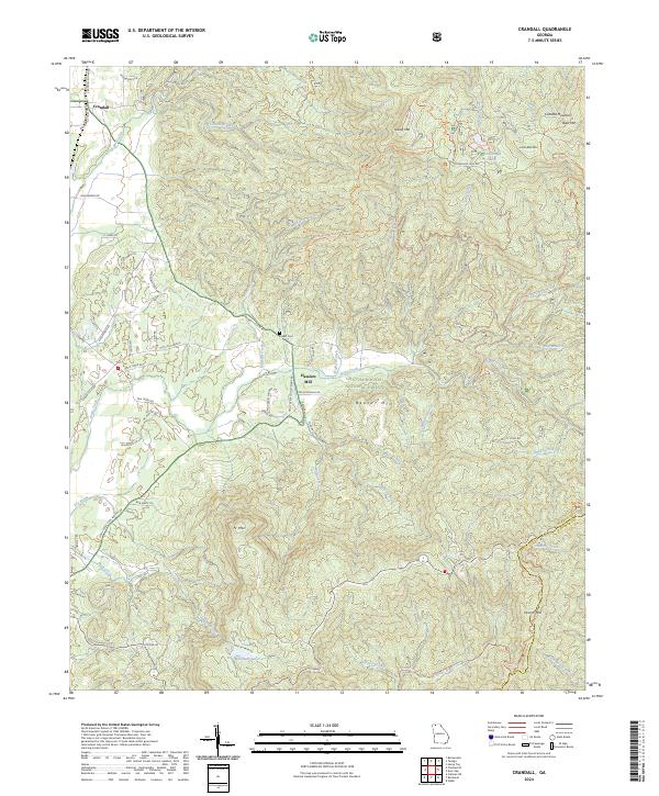
2024 Crandall
Murray County, GA
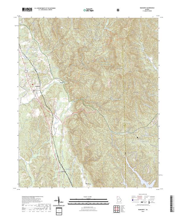
2024 Ramhurst
Murray County, GA
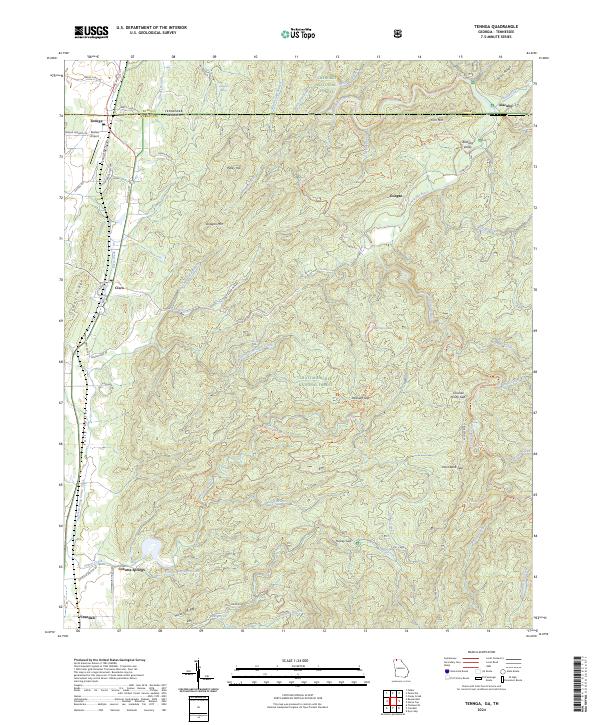
2024 Tennga
Murray County, GA