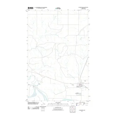
2011 Map of Culbertson
USGS Topo · Published 2011About this map
The Missouri River defines the southern boundary of this northeastern Montana landscape, where the confluence with Big Muddy Creek creates a complex system of channels and bars. The town of Culbertson serves as the primary hub, situated just north of the river and east of the smaller settlement of Blair. This era of development is marked by a mix of municipal services and rural land use, with essential civic landmarks such as the Culbertson Post Office and the Culbertson Vol Fire Dept centered in the town's grid.
Find a feature on this map
18 named features on this map. Tap any name to fly to it.
Don’t see what you’re looking for? This feature index may not catch every label — zoom into the map to look around manually.
Map Details
Editions of this 2011 Culbertson Map
This is the sole edition of this map. No revisions or reprints were ever made.
Other maps of this area
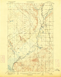
1914 · Homestead
USGS Topo · 1:62,500
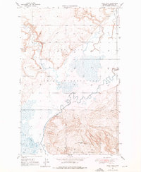
1947 · Rocky Point
USGS Topo · 1:24,000
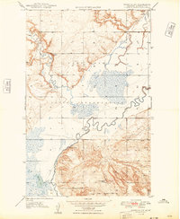
1948 · Rocky Point
USGS Topo · 1:24,000
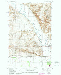
1948 · Fort Kipp
USGS Topo · 1:24,000
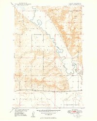
1949 · Fort Kipp
USGS Topo · 1:24,000
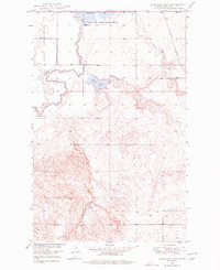
1949 · Johnson Lake
USGS Topo · 1:24,000
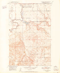
1950 · Johnson Lake
USGS Topo · 1:24,000
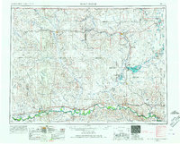
1954 · Wolf Point
USGS Topo · 1:250,000
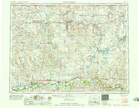
1958 · Wolf Point
USGS Topo · 1:250,000
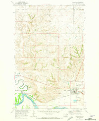
1969 · Culbertson
USGS Topo · 1:24,000
Featured Places
- Culbertson, MT
- Fort Kipp District, MT
- Averill, Culbertson
- Walker Mobile Home Park, Culbertson
- Roosevelt County, MT