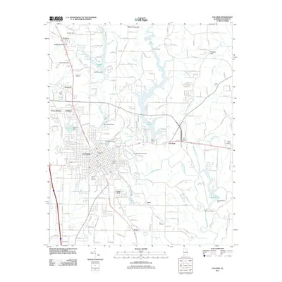
2011 Map of Cullman
USGS Topo · Published 2011About this map
Cullman serves as the central hub of this North Alabama landscape, which is defined by a dense network of suburban expansion and a intricate system of reservoirs and dams. The large expanse of Lake Catoma, held by the Lake Catoma Dam, dominates the northern and eastern reaches, while numerous smaller water bodies like Hayes Lake and Sportman Lake are scattered through residential areas. The map reveals a high concentration of local heritage sites, including the Saint Bernard Abbey Cemetery and Sacred Heart Cemetery, which reflect the area's deep-rooted community foundations. From the crossroads at Dyers Crossroads to the southern neighborhoods of Bolte and Phelan, the terrain is marked by the winding courses of Eightmile Creek and Brindley Creek, providing a detailed view of the county seat's geography in the early 21st century.
Find a feature on this map
209 named features on this map. Tap any name to fly to it.
Don’t see what you’re looking for? This feature index may not catch every label — zoom into the map to look around manually.
Map Details
Editions of this 2011 Cullman Map
This is the sole edition of this map. No revisions or reprints were ever made.
Other maps of this area

1888 · Cullman
USGS Topo · 1:125,000

1892 · Cullman
USGS Topo · 1:125,000

1927 · Falkville
USGS Topo · 1:24,000

1936 · Eva
USGS Topo · 1:24,000

1936 · Lawrence Cove
USGS Topo · 1:24,000

1949 · Falkville
USGS Topo · 1:24,000
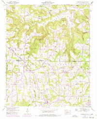
1949 · Lawrence Cove
USGS Topo · 1:24,000
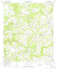
1949 · Eva
USGS Topo · 1:24,000
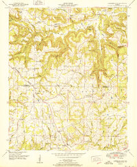
1951 · Lawrence Cove
USGS Topo · 1:24,000
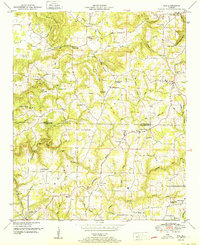
1951 · Eva
USGS Topo · 1:24,000