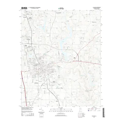
2014 Map of Cullman
USGS Topo · Published 2014About this map
Brindley Mountain and the Tennessee Valley Divide dominate the northern landscape of this region, shaping the drainage patterns that feed into Lake Catoma and the Broglen River. The city of Cullman serves as the central hub, surrounded by a ring of residential and community developments including Northwood, Terrace Heights, and Carrol Acres. This survey illustrates the intricate network of county roads, such as CR-1340, that link outlying communities like Vinemont and East Point to the municipal core.
Find a feature on this map
150 named features on this map. Tap any name to fly to it.
Don’t see what you’re looking for? This feature index may not catch every label — zoom into the map to look around manually.
Map Details
Editions of this 2014 Cullman Map
This is the sole edition of this map. No revisions or reprints were ever made.
Other maps of this area

1888 · Cullman
USGS Topo · 1:125,000

1892 · Cullman
USGS Topo · 1:125,000

1927 · Falkville
USGS Topo · 1:24,000

1936 · Eva
USGS Topo · 1:24,000

1936 · Lawrence Cove
USGS Topo · 1:24,000

1949 · Falkville
USGS Topo · 1:24,000
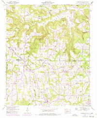
1949 · Lawrence Cove
USGS Topo · 1:24,000
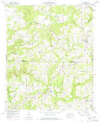
1949 · Eva
USGS Topo · 1:24,000
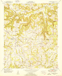
1951 · Lawrence Cove
USGS Topo · 1:24,000
1951 · Eva
USGS Topo · 1:24,000