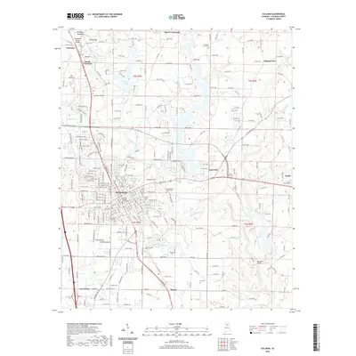
2020 Map of Cullman
USGS Topo · Published 2020About this map
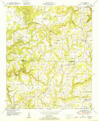
Brindley Mountain and Holmes Gap define the northern highlands of this Alabama landscape, marking the significant Tennessee Valley Divide. This ridge line separates the local waters, with streams like Adams Br flowing north while the Eightmile Creek system drains the southern plateau. The city of Cullman serves as the central hub, showing a dense grid of streets surrounding the Cullman County Courthouse and extending toward the neighboring communities of Good Hope and East Point. For local historians and genealogists, the map identifies numerous sacred sites including Saint Bernard Abbey Cem and Cullman City Cem. The transition from the urban center to the rural outskirts is marked by named lakes such as Hayes Lake and George Lake, illustrating the varied topography and water management of the region.
Find a feature on this map
200 named features on this map. Tap any name to fly to it.
Don’t see what you’re looking for? This feature index may not catch every label — zoom into the map to look around manually.
Map Details
Editions of this 2020 Cullman Map
This is the sole edition of this map. No revisions or reprints were ever made.
Other maps of this area

1888 · Cullman
USGS Topo · 1:125,000

1892 · Cullman
USGS Topo · 1:125,000

1927 · Falkville
USGS Topo · 1:24,000

1936 · Eva
USGS Topo · 1:24,000

1936 · Lawrence Cove
USGS Topo · 1:24,000

1949 · Falkville
USGS Topo · 1:24,000
1949 · Lawrence Cove
USGS Topo · 1:24,000
1949 · Eva
USGS Topo · 1:24,000
1951 · Lawrence Cove
USGS Topo · 1:24,000
1951 · Eva
USGS Topo · 1:24,000