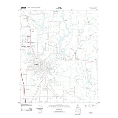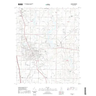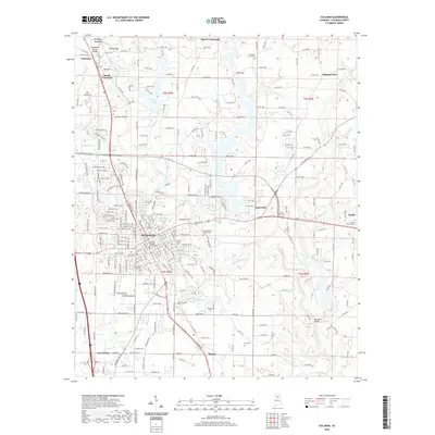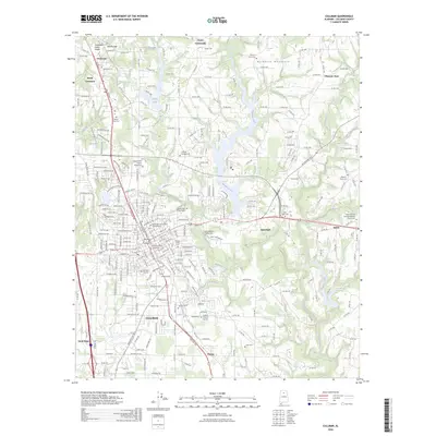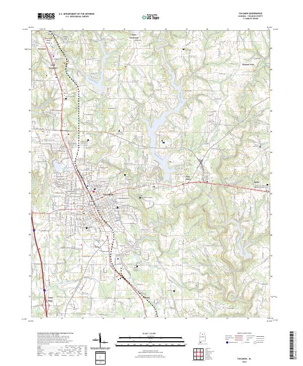
2024 Map of Cullman
USGS Topo · Published 2024About this map
Cullman sits at a geographic crossroads atop Brindley Mountain, where the Tennessee Valley Divide and Holmes Gap shape the high-elevation landscape of the Cumberland Plateau. This modern 2024 survey reveals the dense settlement patterns of the city and its surrounding satellite communities like Vinemont, Good Hope, and Berlin. The infrastructure is defined by the CSX Transportation line and major arteries such as U.S. Highway 31, which parallel the historical transit corridors that first built the region. Significant religious and civic landmarks are prominently documented, including the Cullman County Courthouse, the Saint Bernard Abbey Cem, and the Sacred Heart Convent Cem. These sites, along with smaller family and community burial grounds like Pfiel Cem and the Alabama Odd Fellows Home Cem, provide essential anchor points for genealogical research and local history studies in northern Alabama.
Find a feature on this map
209 named features on this map. Tap any name to fly to it.
Don’t see what you’re looking for? This feature index may not catch every label — zoom into the map to look around manually.
Map Details
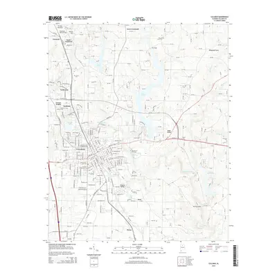
Editions of this 2024 Cullman Map
This is the sole edition of this map. No revisions or reprints were ever made.
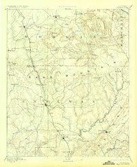
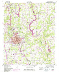
Historical Maps of Cullman Through Time
9 maps found