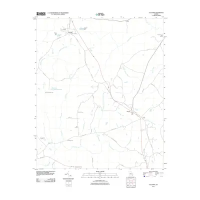
2011 Map of Culloden
USGS Topo · Published 2011About this map
Culloden and Musella anchor this rural landscape in central Georgia, where a dense network of family and community burial grounds provides a detailed record of the region's heritage. The map is particularly notable for its concentration of historic sites, including the Confederate Cemetery and the Culloden City Cemetery near the town center. Numerous family plots like the Anderson-Barnes-Bagley Cemetery and Feagin Cemetery are scattered throughout the countryside, reflecting generations of land ownership.
Find a feature on this map
52 named features on this map. Tap any name to fly to it.
Don’t see what you’re looking for? This feature index may not catch every label — zoom into the map to look around manually.
Map Details
Editions of this 2011 Culloden Map
This is the sole edition of this map. No revisions or reprints were ever made.
Other maps of this area

1951 · Yatesville
USGS Topo · 1:62,500

1955 · Phenix City
USGS Topo · 1:250,000

1956 · Fort Valley
USGS Topo · 1:62,500

1956 · Bolingbroke
USGS Topo · 1:62,500

1957 · Phenix City
USGS Topo · 1:250,000

1957 · Macon
USGS Topo · 1:250,000

1958 · Macon
USGS Topo · 1:250,000

1958 · Phenix City
USGS Topo · 1:250,000

1964 · Macon
USGS Topo · 1:250,000

1971 · Fickling Mill
USGS Topo · 1:24,000