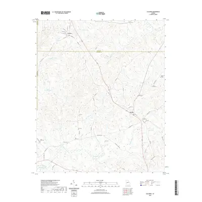
2020 Map of Culloden
USGS Topo · Published 2020About this map
Culloden serves as the primary hub in this Georgia landscape, situated at the convergence of historic routes like Old Post Rd and Knoxville St. The surrounding countryside across the Monroe and Crawford County lines is remarkably dense with family burial grounds, reflecting deep ancestral roots in the region. Genealogists will find a wealth of specific locations such as the Marshall - Parsons Family Cem, McNiece Family Cem, and Feagin Cem.
Find a feature on this map
60 named features on this map. Tap any name to fly to it.
Don’t see what you’re looking for? This feature index may not catch every label — zoom into the map to look around manually.
Map Details
Editions of this 2020 Culloden Map
This is the sole edition of this map. No revisions or reprints were ever made.
Other maps of this area

1951 · Yatesville
USGS Topo · 1:62,500

1955 · Phenix City
USGS Topo · 1:250,000

1956 · Fort Valley
USGS Topo · 1:62,500

1956 · Bolingbroke
USGS Topo · 1:62,500

1957 · Phenix City
USGS Topo · 1:250,000

1957 · Macon
USGS Topo · 1:250,000

1958 · Macon
USGS Topo · 1:250,000

1958 · Phenix City
USGS Topo · 1:250,000

1964 · Macon
USGS Topo · 1:250,000

1971 · Fickling Mill
USGS Topo · 1:24,000