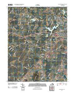
2010 Map of Culpeper West
USGS Topo · Published 2010About this map
Culpeper sits at the heart of this landscape, surrounded by a ring of developing neighborhoods including Village of Culpeper, Mulberry Greens, and Whiteshop Estates. The terrain to the west rises toward Bruce Mountain and Fox Mountain, while the southern expanse is defined by the prominent Cedar Mountain. Water management is a primary feature of the local geography, visible in the sequence of dams along Mountain Run, such as Mountain Run Number 50 Dam which creates Lake Pelham. Genealogists will find a significant concentration of burial sites throughout the rural areas, including Antioch Cemetery, Cedar Run Cemetery, and Pilgrim Cemetery. Historical settlement patterns are still evident in named locales like Waylands Mill and Fordsville, and the small community of Mitchells at the southern edge of the survey.
Find a feature on this map
105 named features on this map. Tap any name to fly to it.
Don’t see what you’re looking for? This feature index may not catch every label — zoom into the map to look around manually.
Map Details
Editions of this 2010 Culpeper West Map
This is the sole edition of this map. No revisions or reprints were ever made.
Other maps of this area

1887 · Spottsylvania
USGS Topo · 1:125,000

1892 · Spottsylvania
USGS Topo · 1:125,000

1892 · Gordonsville
USGS Topo · 1:125,000

1893 · Luray
USGS Topo · 1:125,000

1894 · Warrenton
USGS Topo · 1:125,000

1894 · Warrenton
USGS Topo · 1:62,500

1905 · Luray
USGS Topo · 1:125,000

1927 · Remington
USGS Topo · 1:48,000

1930 · Warrenton
USGS Topo · 1:62,500

1943 · Culpeper
USGS Topo · 1:24,000