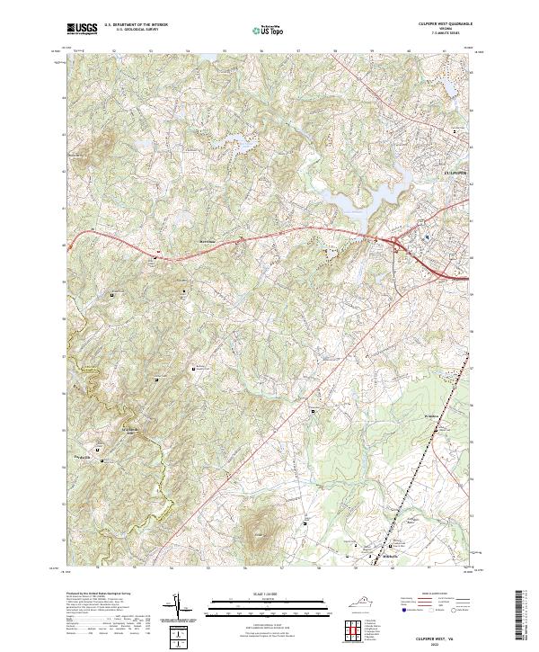
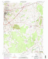
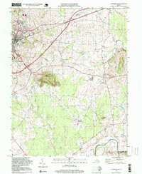
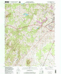
2022 Map of Culpeper West
USGS Topo · Published 2022About this map
Culpeper stands as the primary hub of this Virginia landscape, where suburban expansion meets the deeply rooted agricultural history of the Culpeper Basin. The map reveals a high density of ancestral burial grounds, including the Fairview Cem near town and several smaller family plots such as the Strother Cem, Green Family Cem, and Bushong Hawkins Cem. These small cemeteries are often the only remaining markers of former farmsteads that once defined the rural countryside.
Find a feature on this map
179 named features on this map. Tap any name to fly to it.
Don’t see what you’re looking for? This feature index may not catch every label — zoom into the map to look around manually.
Map Details
Editions of this 2022 Culpeper West Map
This is the sole edition of this map. No revisions or reprints were ever made.
Historical Maps of Culpeper Through Time
13 maps found
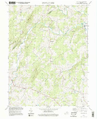
1943 Germanna Bridge
Culpeper County, VA
1944 Germanna Bridge
Culpeper County, VA
1968 Germanna Bridge
Culpeper County, VA
1971 Castleton
Culpeper County, VA
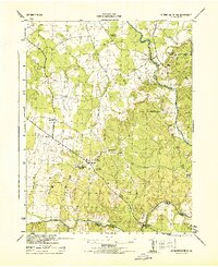
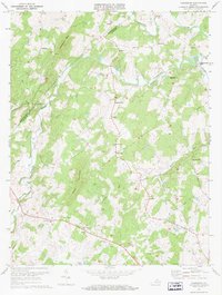
1971 Culpeper West
Culpeper County, VA
1973 Culpeper East
Culpeper County, VA
1994 Castleton
Culpeper County, VA
1994 Culpeper East
Culpeper County, VA
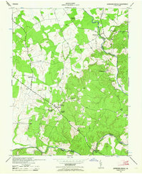
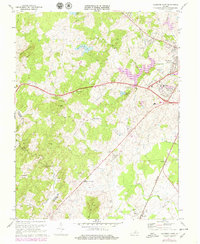
1997 Culpeper West
Culpeper County, VA
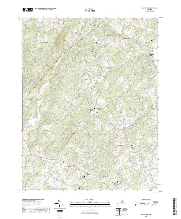
2022 Castleton
Culpeper County, VA
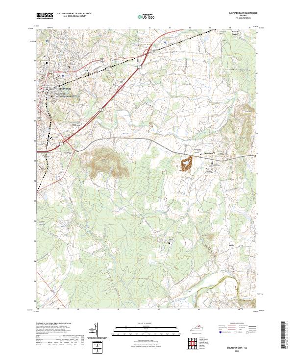
2022 Culpeper East
Culpeper County, VA
2022 Culpeper West
Culpeper County, VA
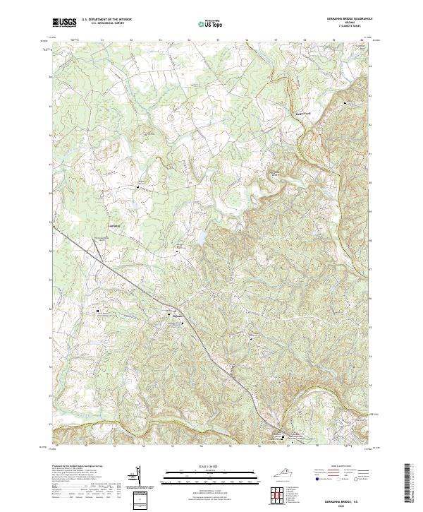
2022 Germanna Bridge
Culpeper County, VA