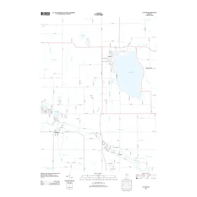
2013 Map of Culver
USGS Topo · Published 2013About this map
Lake Maxinkuckee dominates the landscape of north-central Indiana, serving as the focal point for the lakeside community of Culver. The town’s grid is clearly defined, reaching from the water's edge at W Shore Dr through residential streets like S Main St and S Ohio St. To the south, the Tippecanoe River meanders toward the settlements of Monterey and Delong, while smaller water bodies like Lost Lake and King Lake dot the surrounding agricultural and marshy terrain.
Find a feature on this map
152 named features on this map. Tap any name to fly to it.
Don’t see what you’re looking for? This feature index may not catch every label — zoom into the map to look around manually.
Map Details
Editions of this 2013 Culver Map
This is the sole edition of this map. No revisions or reprints were ever made.
Other maps of this area

1953 · Chicago
USGS Topo · 1:250,000

1957 · Chicago
USGS Topo · 1:250,000

1957 · Knox East
USGS Topo · 1:24,000

1957 · Plymouth
USGS Topo · 1:24,000

1958 · Donaldson
USGS Topo · 1:24,000

1962 · Pershing
USGS Topo · 1:24,000

1962 · Winamac
USGS Topo · 1:24,000

1962 · Kewanna
USGS Topo · 1:24,000

1962 · Bass Lake
USGS Topo · 1:24,000

1962 · Culver
USGS Topo · 1:24,000