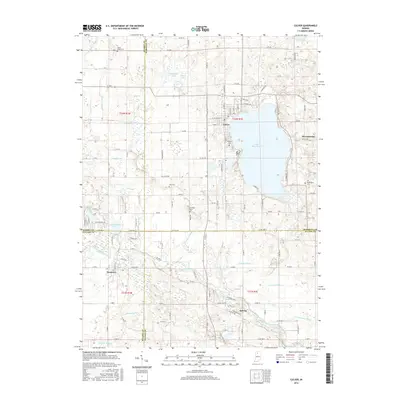
2016 Map of Culver
USGS Topo · Published 2016About this map
Lake Maxinkuckee dominates the landscape of this Indiana region, with the town of Culver established on its northwestern shore. This 2016 survey provides a precise view of the interface between long-standing residential developments and the complex hydrological network of the Kankakee outwash plain. The terrain is defined by a dense system of man-made waterways like Thompson Ditch and Zechiel Arm that drain the low-lying glacial pockets into the Tippecanoe River, which winds through the southern portion of the quadrangle. Beyond the lakeside activity, the map identifies small rural hubs such as Monterey and Delong. Genealogists can find several notable burial sites including Masonic Cem and North Union Cem, while the inclusion of King Lake and Houghton Lake reflects the area's ongoing character as a destination for seasonal and permanent water-side living.
Find a feature on this map
90 named features on this map. Tap any name to fly to it.
Don’t see what you’re looking for? This feature index may not catch every label — zoom into the map to look around manually.
Map Details
Editions of this 2016 Culver Map
This is the sole edition of this map. No revisions or reprints were ever made.
Other maps of this area

1953 · Chicago
USGS Topo · 1:250,000

1957 · Chicago
USGS Topo · 1:250,000

1957 · Knox East
USGS Topo · 1:24,000

1957 · Plymouth
USGS Topo · 1:24,000

1958 · Donaldson
USGS Topo · 1:24,000

1962 · Pershing
USGS Topo · 1:24,000

1962 · Winamac
USGS Topo · 1:24,000

1962 · Kewanna
USGS Topo · 1:24,000

1962 · Bass Lake
USGS Topo · 1:24,000

1962 · Culver
USGS Topo · 1:24,000