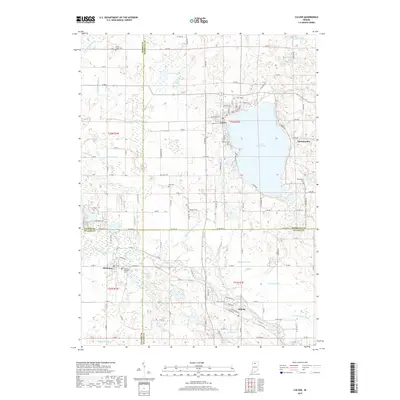
2019 Map of Culver
USGS Topo · Published 2019About this map
Lake Maxinkuckee dominates this landscape in the northern Indiana lake country, where the town of Culver sits along its northwestern shore. The 2019 survey shows the established town layout adjacent to the Masonic Cem and Lost Lake, while the smaller settlement of Maxinkuckee rests on the eastern bank. To the south and west, the Tippecanoe River meanders through the farmland, connecting the communities of Monterey and Delong.
Find a feature on this map
99 named features on this map. Tap any name to fly to it.
Don’t see what you’re looking for? This feature index may not catch every label — zoom into the map to look around manually.
Map Details
Editions of this 2019 Culver Map
This is the sole edition of this map. No revisions or reprints were ever made.
Other maps of this area

1953 · Chicago
USGS Topo · 1:250,000

1957 · Chicago
USGS Topo · 1:250,000

1957 · Knox East
USGS Topo · 1:24,000

1957 · Plymouth
USGS Topo · 1:24,000

1958 · Donaldson
USGS Topo · 1:24,000

1962 · Pershing
USGS Topo · 1:24,000

1962 · Winamac
USGS Topo · 1:24,000

1962 · Kewanna
USGS Topo · 1:24,000

1962 · Bass Lake
USGS Topo · 1:24,000

1962 · Culver
USGS Topo · 1:24,000