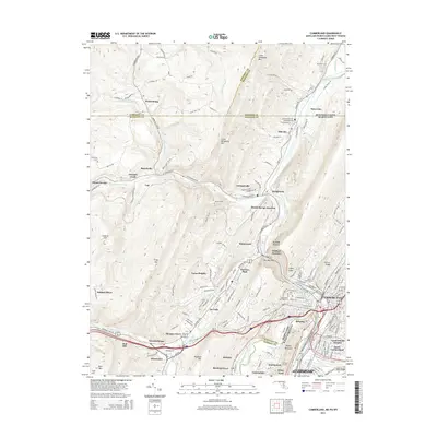
2014 Map of Cumberland
USGS Topo · Published 2014About this map
Cumberland serves as the focal point for this survey of the Maryland, Pennsylvania, and West Virginia borders, where the North Branch Potomac River and Wills Creek meet. This corridor is defined by its deep transit history, featuring the C&O Canal Nat Hist Site and numerous rail junctions such as Mount Savage Junction and Eckhart Junction. The landscape is physically divided by striking geological features like The Narrows and Lovers Leap, which have historically funneled transportation through Shriver Ridge and Haystack Mtn.
Find a feature on this map
164 named features on this map. Tap any name to fly to it.
Don’t see what you’re looking for? This feature index may not catch every label — zoom into the map to look around manually.
Map Details
Editions of this 2014 Cumberland Map
This is the sole edition of this map. No revisions or reprints were ever made.
Other maps of this area

1898 · Frostburg
USGS Topo · 1:62,500

1899 · Flintstone
USGS Topo · 1:62,500

1900 · Flintstone
USGS Topo · 1:62,500

1901 · Frostburg
USGS Topo · 1:62,500

1908 · Frostburg
USGS Topo · 1:62,500

1923 · Berlin
USGS Topo · 1:48,000

1927 · Hyndman
USGS Topo · 1:62,500

1929 · Berlin
USGS Topo · 1:62,500

1931 · Hyndman
USGS Topo · 1:62,500

1944 · Hyndman
USGS Topo · 1:62,500