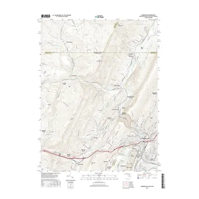
2016 Map of Cumberland
USGS Topo · Published 2016About this map
Cumberland sits at a strategic gap in the mountains where the North Branch Potomac River meets Wills Creek, a location that has defined transportation in the region for centuries. This survey illustrates the dense cluster of communities that radiate from the city center, including Ridgeley, South Cumberland, and La Vale. The landscape is dominated by steep ridges like Haystack Mtn and Little Allegheny Mtn, with The Narrows providing a dramatic passage for road and rail.
Find a feature on this map
82 named features on this map. Tap any name to fly to it.
Don’t see what you’re looking for? This feature index may not catch every label — zoom into the map to look around manually.
Map Details
Editions of this 2016 Cumberland Map
This is the sole edition of this map. No revisions or reprints were ever made.
Other maps of this area
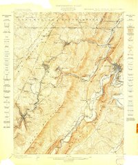
1898 · Frostburg
USGS Topo · 1:62,500
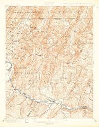
1899 · Flintstone
USGS Topo · 1:62,500
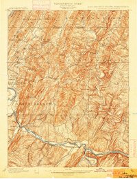
1900 · Flintstone
USGS Topo · 1:62,500
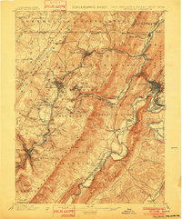
1901 · Frostburg
USGS Topo · 1:62,500
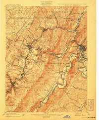
1908 · Frostburg
USGS Topo · 1:62,500
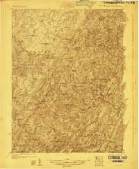
1923 · Berlin
USGS Topo · 1:48,000
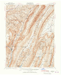
1927 · Hyndman
USGS Topo · 1:62,500
1929 · Berlin
USGS Topo · 1:62,500
1931 · Hyndman
USGS Topo · 1:62,500
1944 · Hyndman
USGS Topo · 1:62,500