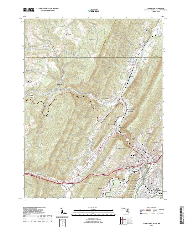
2023 Map of Cumberland
USGS Topo · Published 2023About this map
Cumberland sits at the strategic center of this 2023 survey, where the North Branch Potomac River and Wills Creek meet against the dramatic backdrop of Wills Mountain. The urban core is defined by landmarks like the Allegany County Courthouse and numerous cemeteries including Rose Hill Cem and Saints Peter and Paul Cem. The landscape reveals the region's historic dependence on mountain gaps and water gaps, most notably The Narrows, which remains a critical corridor for transportation through the ridgelines.
Find a feature on this map
70 named features on this map. Tap any name to fly to it.
Don’t see what you’re looking for? This feature index may not catch every label — zoom into the map to look around manually.
Map Details
Editions of this 2023 Cumberland Map
This is the sole edition of this map. No revisions or reprints were ever made.
Other maps of this area

1898 · Frostburg
USGS Topo · 1:62,500

1899 · Flintstone
USGS Topo · 1:62,500

1900 · Flintstone
USGS Topo · 1:62,500

1901 · Frostburg
USGS Topo · 1:62,500

1908 · Frostburg
USGS Topo · 1:62,500

1923 · Berlin
USGS Topo · 1:48,000

1927 · Hyndman
USGS Topo · 1:62,500

1929 · Berlin
USGS Topo · 1:62,500

1931 · Hyndman
USGS Topo · 1:62,500

1944 · Hyndman
USGS Topo · 1:62,500