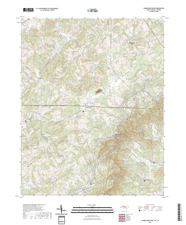
2022 Map of Cumberland Knob
USGS Topo · Published 2022About this map
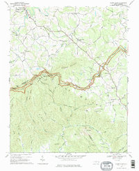
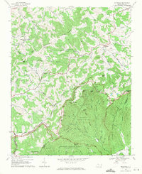
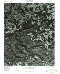
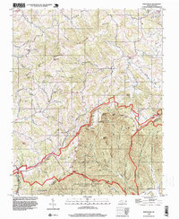
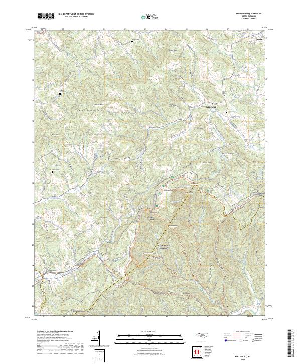
Blue Ridge Parkway winds through the high terrain along the North Carolina and Virginia state line, passing through a landscape defined by elevated knobs and deeply cut creek valleys. The area around Cumberland Knob and Saddle Mountain serves as a prominent geographic anchor, where the headwaters of numerous streams like Chestnut Cr and Piney Cr begin their descent. Small rural communities and named crossroads such as Edmonds, Ennice, and Low Gap are linked by a network of winding mountain roads, including Old Baywood Rd and Meadow Creek Rd.
Find a feature on this map
152 named features on this map. Tap any name to fly to it.
Don’t see what you’re looking for? This feature index may not catch every label — zoom into the map to look around manually.
Map Details
Editions of this 2022 Cumberland Knob Map
This is the sole edition of this map. No revisions or reprints were ever made.
Historical Maps of Ennice Through Time
13 maps found
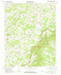
1965 Cumberland Knob
Alleghany County, NC
1966 Sparta East
Alleghany County, NC
1966 Sparta West
Alleghany County, NC
1968 Glade Valley
Alleghany County, NC
1968 Whitehead
Alleghany County, NC
1976 Glade Valley
Alleghany County, NC
1998 Whitehead
Alleghany County, NC
2000 Sparta West
Alleghany County, NC
2022 Cumberland Knob
Alleghany County, NC
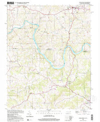
2022 Glade Valley
Alleghany County, NC
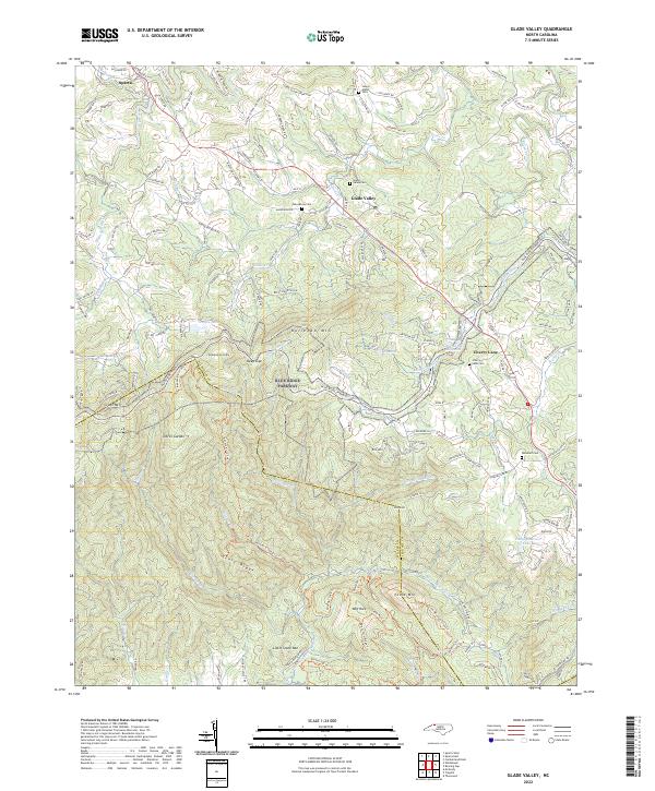
2022 Sparta East
Alleghany County, NC
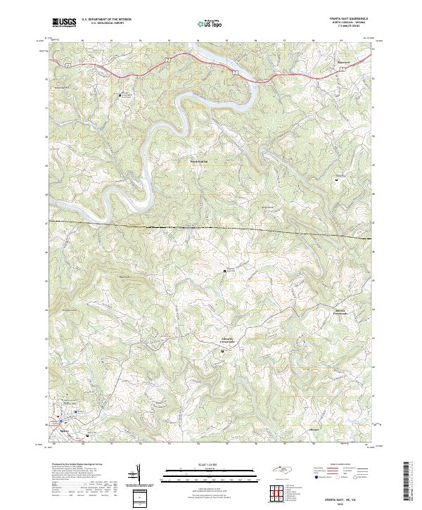
2022 Sparta West
Alleghany County, NC
2022 Whitehead
Alleghany County, NC