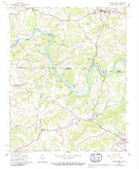
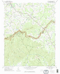
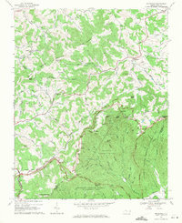
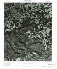
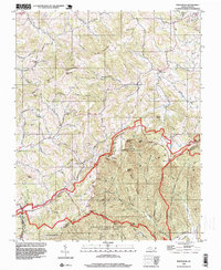
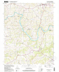
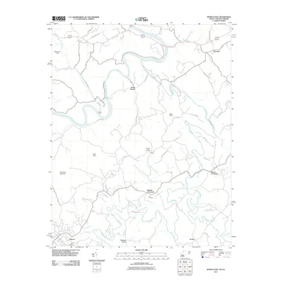
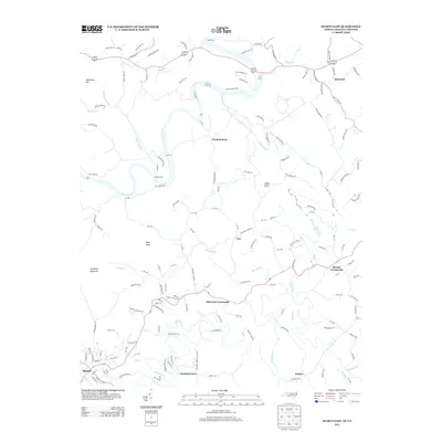
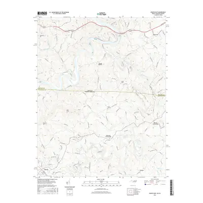
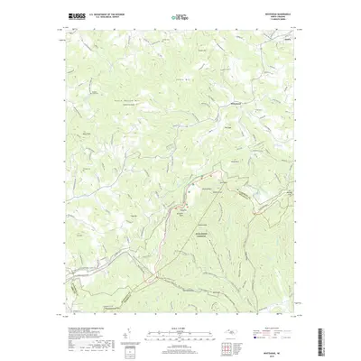
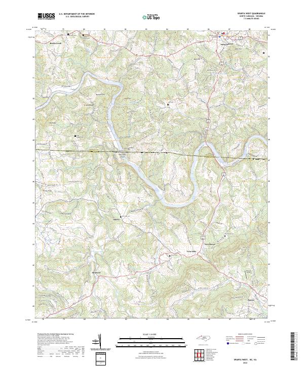
1966 Map of Sparta West
USGS Topo · Published 1992About this map
The New River carves a winding path through the borderlands of North Carolina and Virginia, defining the topography of both Grayson and Alleghany counties. This 1966 survey, later revised with data from the late 1980s, captures a landscape of small, isolated mountain communities and family-named landmarks. The terrain is marked by distinctive heights such as Penitentiary Hill and Buzzard Hill, while human settlement is concentrated around historical crossings and country roads.
Find a feature on this map
43 named features on this map. Tap any name to fly to it.
Don’t see what you’re looking for? This feature index may not catch every label — zoom into the map to look around manually.
Map Details
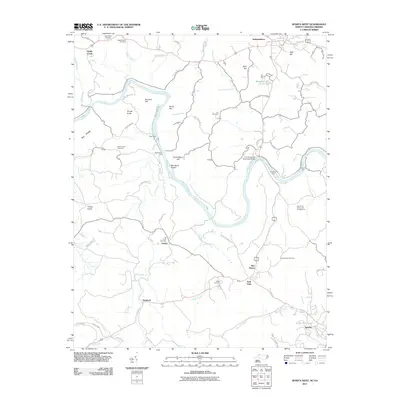
Editions of this 1966 Sparta West Map
2 editions found
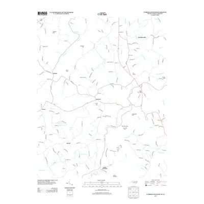
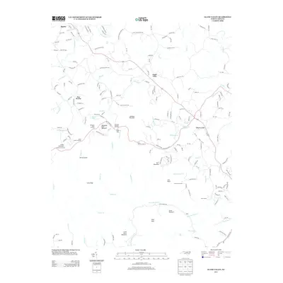
Historical Maps of Sparta Through Time
33 maps found
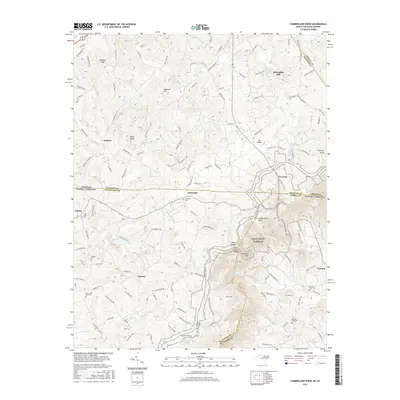
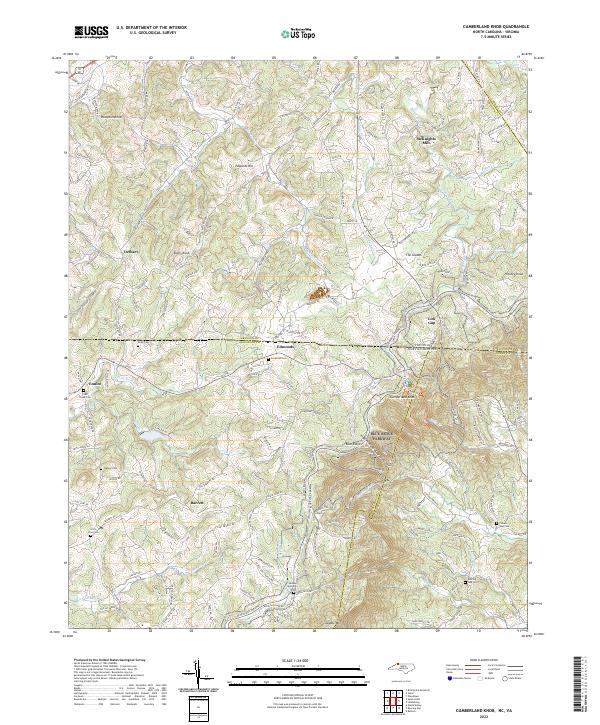
1965 Cumberland Knob
Alleghany County, NC
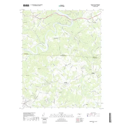
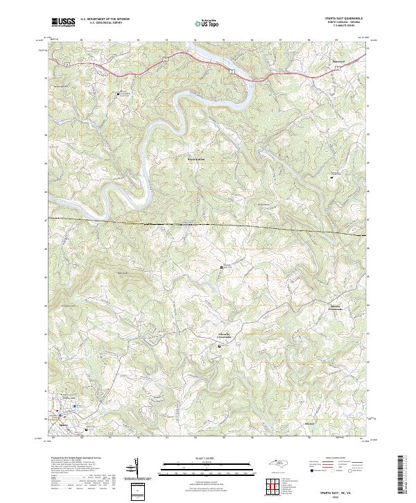
1966 Sparta East
Alleghany County, NC
1966 Sparta West
Alleghany County, NC
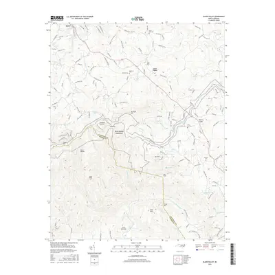
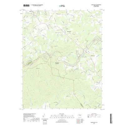
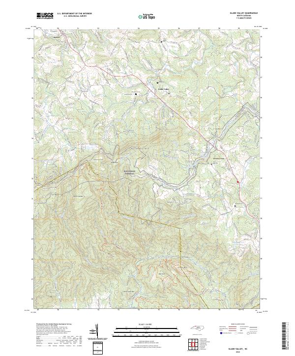
1968 Glade Valley
Alleghany County, NC
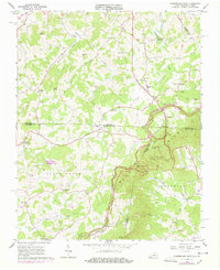
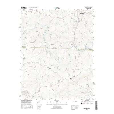
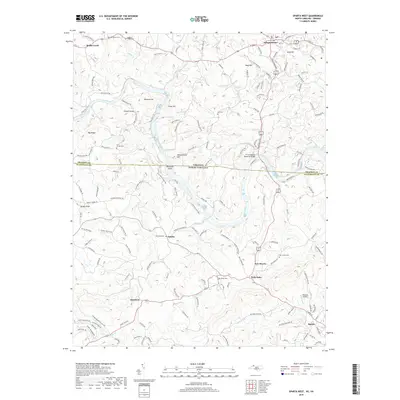
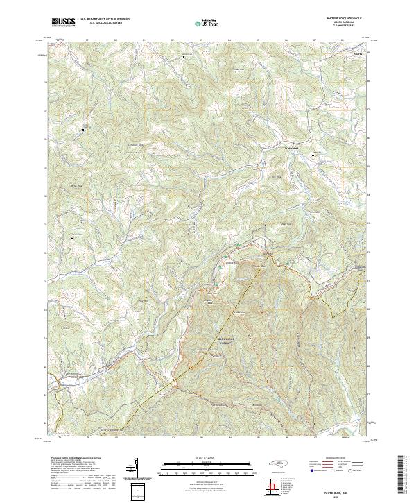
1968 Whitehead
Alleghany County, NC
1976 Glade Valley
Alleghany County, NC
1998 Whitehead
Alleghany County, NC
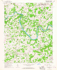
2000 Sparta West
Alleghany County, NC
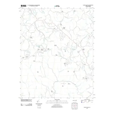
2010 Glade Valley
Alleghany County, NC
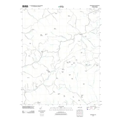
2010 Whitehead
Alleghany County, NC
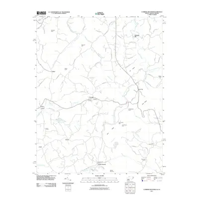
2011 Cumberland Knob
Alleghany County, NC
2011 Sparta East
Alleghany County, NC
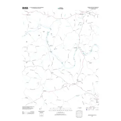
2011 Sparta West
Alleghany County, NC
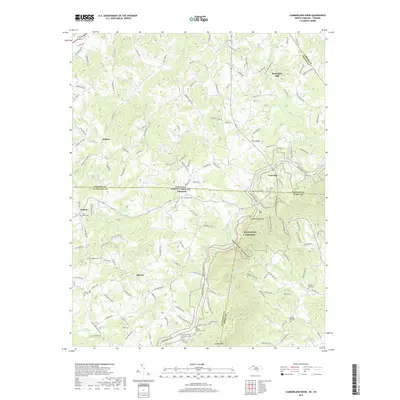
2013 Cumberland Knob
Alleghany County, NC
2013 Glade Valley
Alleghany County, NC
2013 Sparta East
Alleghany County, NC
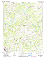
2013 Sparta West
Alleghany County, NC
2013 Whitehead
Alleghany County, NC
2016 Cumberland Knob
Alleghany County, NC
2016 Glade Valley
Alleghany County, NC
2016 Sparta East
Alleghany County, NC
2016 Sparta West
Alleghany County, NC
2016 Whitehead
Alleghany County, NC
2019 Cumberland Knob
Alleghany County, NC
2019 Glade Valley
Alleghany County, NC
2019 Sparta East
Alleghany County, NC
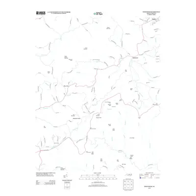
2019 Sparta West
Alleghany County, NC
2019 Whitehead
Alleghany County, NC
2022 Cumberland Knob
Alleghany County, NC
2022 Glade Valley
Alleghany County, NC
2022 Sparta East
Alleghany County, NC
2022 Sparta West
Alleghany County, NC
2022 Whitehead
Alleghany County, NC