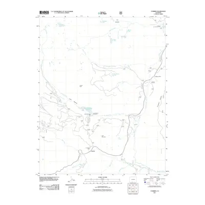
2011 Map of Cumbres
USGS Topo · Published 2011About this map
Rio de los Pinos and its numerous tributaries, including Cumbres Creek and Wolf Creek, carve through this high-elevation landscape in the Southern Rockies. The topography is defined by significant mountain passes and peaks, most notably Cumbres Pass near the settlement of Cumbres, and La Manga Pass to the north. These corridors have historically served as vital transit routes through the San Juan Mountains.
Find a feature on this map
35 named features on this map. Tap any name to fly to it.
Don’t see what you’re looking for? This feature index may not catch every label — zoom into the map to look around manually.
Map Details
Editions of this 2011 Cumbres Map
This is the sole edition of this map. No revisions or reprints were ever made.
Other maps of this area

1913 · Summitville
USGS Topo · 1:125,000

1915 · Summitville
USGS Topo · 1:125,000

1918 · Tusas
USGS Topo · 1:125,000

1922 · Conejos
USGS Topo · 1:125,000

1945 · Durango
USGS Topo · 1:250,000

1953 · Durango
USGS Topo · 1:250,000

1954 · Durango
USGS Topo · 1:250,000

1954 · Aztec
USGS Topo · 1:250,000

1955 · Chama
USGS Topo · 1:62,500

1955 · Brazos Peak
USGS Topo · 1:62,500