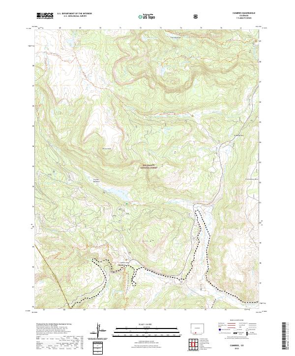
2022 Map of Cumbres
USGS Topo · Published 2022About this map
Cumbres Pass serves as a critical high-altitude corridor within the Rio Grande National Forest, marking a point of significant historical transit through the southern San Juan Mountains. The small settlement of Cumbres is situated near the county line between Conejos and Archuleta counties, reflecting the area's legacy as a mountain crossing. The terrain is defined by a series of peaks and ridges, including Jarosa Peak, Neff Mtn, and Pinorealosa Mtn, which frame a network of alpine lakes and meadows.
Find a feature on this map
42 named features on this map. Tap any name to fly to it.
Don’t see what you’re looking for? This feature index may not catch every label — zoom into the map to look around manually.
Map Details
Editions of this 2022 Cumbres Map
This is the sole edition of this map. No revisions or reprints were ever made.
Other maps of this area

1913 · Summitville
USGS Topo · 1:125,000

1915 · Summitville
USGS Topo · 1:125,000

1918 · Tusas
USGS Topo · 1:125,000

1922 · Conejos
USGS Topo · 1:125,000

1945 · Durango
USGS Topo · 1:250,000

1953 · Durango
USGS Topo · 1:250,000

1954 · Durango
USGS Topo · 1:250,000

1954 · Aztec
USGS Topo · 1:250,000

1955 · Chama
USGS Topo · 1:62,500

1955 · Brazos Peak
USGS Topo · 1:62,500