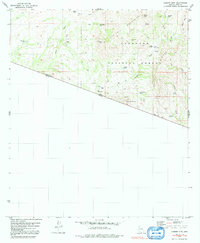
1979 Map of Cumero Mtn
USGS Topo · Published 1992About this map
The United States Mexico border defines the southern extent of this 1970s landscape, where the San Luis Mountains rise above a network of arid washes and remote ranching infrastructure. Land management is divided by the Coronado National Forest boundary, which encompasses prominent peaks like Cumero Mtn and Lesna Peak. The scarcity of water in this Pima County desert is evident in the numerous man-made features designed to capture seasonal runoff, including Fresnal Dam, Cantina Reservoir, and uniquely named catchments such as Marijuana Tank and Rock Tank.
Find a feature on this map
46 named features on this map. Tap any name to fly to it.
Don’t see what you’re looking for? This feature index may not catch every label — zoom into the map to look around manually.
Map Details
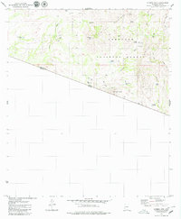
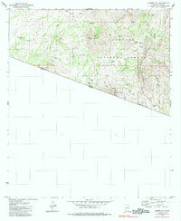
Editions of this 1979 Cumero Mtn Map
3 editions found
Other maps of this area

1920 · Arivaca
USGS Topo · 1:125,000

1921 · Old Glory
USGS Topo · 1:125,000

1941 · Presumido Peak
USGS Topo · 1:62,500

1941 · Arivaca
USGS Topo · 1:62,500

1942 · Oro Blanco
USGS Topo · 1:62,500

1943 · Fresnal
USGS Topo · 1:125,000

1943 · Arivaca
USGS Topo · 1:62,500

1943 · Old Glory
USGS Topo · 1:125,000

1943 · Presumido Peak
USGS Topo · 1:62,500

1944 · Oro Blanco
USGS Topo · 1:62,500