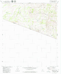
1979 Map of Cumero Mtn
USGS Topo · Published 1979About this map
San Luis Mountains and the international border between the United States and Mexico define this high-desert landscape in the late 1970s. The topography is dominated by the jagged rise of Cumero Mtn and Lesna Peak, where water sources are the critical markers of human presence. Named water features like Marihuana Tank, Slick Rock Tank, and Alamito Tank are scattered throughout the Coronado National Forest, illustrating the necessity of water management in this arid cattle-country environment. Traces of ranching life and early habitation appear at the Garcia Ranch, which is accompanied by a nearby Cem (cemetery). Evidence of mineral exploration persists at a small Prospect near Cerro del Fresnal, while a network of jeep trails connects isolated points like Coches Windmill and the Cantina Reservoir near the border of Pima County.
Find a feature on this map
36 named features on this map. Tap any name to fly to it.
Don’t see what you’re looking for? This feature index may not catch every label — zoom into the map to look around manually.
Map Details
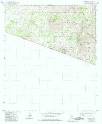
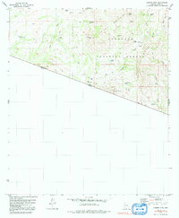
Editions of this 1979 Cumero Mtn Map
3 editions found
Other maps of this area

1920 · Arivaca
USGS Topo · 1:125,000

1921 · Old Glory
USGS Topo · 1:125,000

1941 · Presumido Peak
USGS Topo · 1:62,500

1941 · Arivaca
USGS Topo · 1:62,500

1942 · Oro Blanco
USGS Topo · 1:62,500

1943 · Fresnal
USGS Topo · 1:125,000

1943 · Arivaca
USGS Topo · 1:62,500

1943 · Old Glory
USGS Topo · 1:125,000

1943 · Presumido Peak
USGS Topo · 1:62,500

1944 · Oro Blanco
USGS Topo · 1:62,500