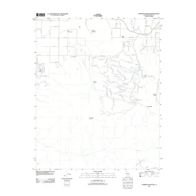
2012 Map of Cummings Mountain
USGS Topo · Published 2012About this map
Cummings Mountain rises as the dominant landmark of this Kern County region, anchoring a landscape defined by ranching and institutional land use in the early 21st century. The map illustrates a network of agricultural and residential properties, including Browning Ranch, Cummings Ranch, and the Spring Valley Farm, situated alongside the California Correctional Institute. This period shows significant suburban-style development in the northeast, where residential streets and the Indian Hill Ranch Campground meet the rugged drainage of Brite Cr. Water remains a central element of the landscape's character, with Water Canyon and Live Oak Canyon carving through the terrain, while the private PSK Ranch Airport serves as a reminder of the area's rural aviation history. The intersection at Five Points marks a local junction in the lower valley before the terrain transitions into the steep slopes of Paradise Valley.
Find a feature on this map
100 named features on this map. Tap any name to fly to it.
Don’t see what you’re looking for? This feature index may not catch every label — zoom into the map to look around manually.
Map Details
Editions of this 2012 Cummings Mountain Map
This is the sole edition of this map. No revisions or reprints were ever made.
Other maps of this area

1903 · Tejon
USGS Topo · 1:125,000

1914 · Caliente
USGS Topo · 1:125,000

1915 · Elizabeth Lake
USGS Topo · 1:125,000

1915 · Mojave
USGS Topo · 1:125,000

1917 · Elizabeth Lake
USGS Topo · 1:125,000

1930 · Bear Mountain
USGS Topo · 1:31,680

1933 · Bear Mountain
USGS Topo · 1:31,680

1943 · Tehachapi
USGS Topo · 1:62,500

1943 · Cummings Mountain
USGS Topo · 1:62,500

1943 · Neenach
USGS Topo · 1:62,500