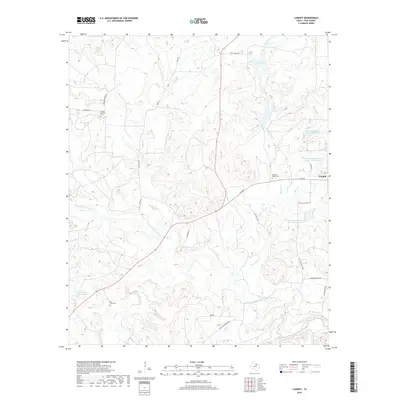
2019 Map of Cundiff
USGS Topo · Published 2019About this map
The W Fork Trinity River winds through the southern landscape of this Jack County territory, where cattle ranching and water management define the rural character. Named ranch roads such as Coca Cola Ranch Rd and Craft Ranch Rd weave between a network of conservation reservoirs, including Soil Conservation Service Site 12 Reservoir and Worthington Lake Number 1. Small-scale water features like Craft Lake and Howard Cr are central to the terrain's organization.
Find a feature on this map
30 named features on this map. Tap any name to fly to it.
Don’t see what you’re looking for? This feature index may not catch every label — zoom into the map to look around manually.
Map Details
Editions of this 2019 Cundiff Map
This is the sole edition of this map. No revisions or reprints were ever made.
Other maps of this area

1954 · Sherman
USGS Topo · 1:250,000

1954 · Wichita Falls
USGS Topo · 1:250,000

1958 · Wichita Falls
USGS Topo · 1:250,000

1958 · Sherman
USGS Topo · 1:250,000

1960 · Wizard Wells
USGS Topo · 1:24,000

1960 · Jacksboro
USGS Topo · 1:24,000

1961 · Selma
USGS Topo · 1:24,000

1961 · Jacksboro NE
USGS Topo · 1:24,000

1961 · Crafton
USGS Topo · 1:24,000

1964 · Cundiff
USGS Topo · 1:24,000