
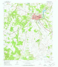
1960 Map of Jacksboro
USGS Topo · Published 1962About this map
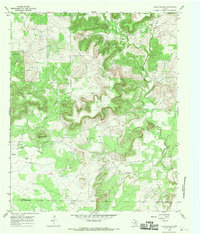
Jacksboro is centered as the primary hub of this North Texas survey, showcasing its mid-century grid including Mesquite Ave and Belnap St. The map captures a moment when the city’s educational and medical infrastructure was well-defined, featuring the Linnie Shelton Sch and the County Hospital West. A significant historical layer is preserved through the marking of Fort Richardson (Historical) south of the town center, a reminder of the frontier military post established in the late 19th century.
Find a feature on this map
40 named features on this map. Tap any name to fly to it.
Don’t see what you’re looking for? This feature index may not catch every label — zoom into the map to look around manually.
Map Details
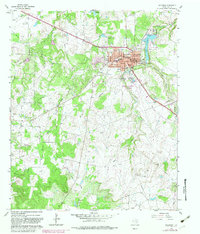
Editions of this 1960 Jacksboro Map
3 editions found
Other maps of this area

1954 · Wichita Falls
USGS Topo · 1:250,000

1958 · Wichita Falls
USGS Topo · 1:250,000
1961 · Bartons Chapel
USGS Topo · 1:24,000
1961 · Perrin
USGS Topo · 1:24,000

1961 · Jacksboro NE
USGS Topo · 1:24,000

1964 · Senate
USGS Topo · 1:24,000

1964 · Cundiff
USGS Topo · 1:24,000

1964 · Johnson Lake
USGS Topo · 1:24,000

1964 · Lynn Creek
USGS Topo · 1:24,000
1967 · Long Hollow
USGS Topo · 1:24,000