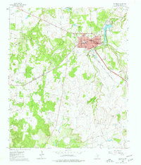
1960 Map of Jacksboro
USGS Topo · Published 1977About this map
Jacksboro serves as the focal point of this North Texas survey, showcasing its development as a county seat and regional hub. The map highlights the town's essential infrastructure, including the Courthouse, County Hospital, and local educational institutions like the Linnie Shelton Sch. On the southern edge of town, the site of Fort Richardson (Historical) marks a significant military footprint from the state's frontier era.
Find a feature on this map
29 named features on this map. Tap any name to fly to it.
Don’t see what you’re looking for? This feature index may not catch every label — zoom into the map to look around manually.
Map Details
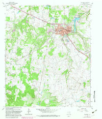
Editions of this 1960 Jacksboro Map
3 editions found
Other maps of this area

1954 · Wichita Falls
USGS Topo · 1:250,000

1958 · Wichita Falls
USGS Topo · 1:250,000

1960 · Jacksboro
USGS Topo · 1:24,000
1961 · Bartons Chapel
USGS Topo · 1:24,000
1961 · Perrin
USGS Topo · 1:24,000

1961 · Jacksboro NE
USGS Topo · 1:24,000

1964 · Senate
USGS Topo · 1:24,000

1964 · Cundiff
USGS Topo · 1:24,000

1964 · Johnson Lake
USGS Topo · 1:24,000

1964 · Lynn Creek
USGS Topo · 1:24,000