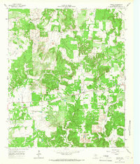
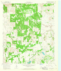
1964 Map of Senate
USGS Topo · Published 1967About this map
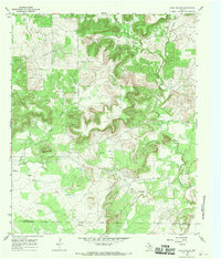
The tiny settlement of Senate serves as a quiet center in this 1964 survey of north Texas, where the economy was shaped by the Pacific and Rock Island rail line. The landscape is a mix of agricultural pasture and oil extraction, evidenced by numerous Oil Wells and a Pumping Sta scattered among the drainage of North Creek and West Salt Creek. Cultural landmarks such as Mountain Home Missionary Ch and the Bethany Ch highlight the area's rural social centers.
Find a feature on this map
19 named features on this map. Tap any name to fly to it.
Don’t see what you’re looking for? This feature index may not catch every label — zoom into the map to look around manually.
Map Details
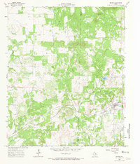
Editions of this 1964 Senate Map
2 editions found
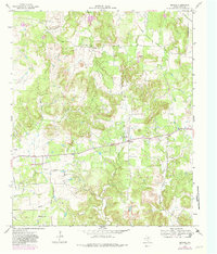
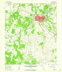
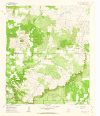
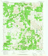
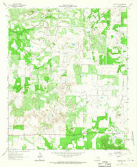
Other maps of this area

1954 · Wichita Falls
USGS Topo · 1:250,000

1958 · Wichita Falls
USGS Topo · 1:250,000
1960 · Jacksboro
USGS Topo · 1:24,000
1961 · Bartons Chapel
USGS Topo · 1:24,000
1964 · Johnson Lake
USGS Topo · 1:24,000
1964 · Bryson
USGS Topo · 1:24,000
1964 · Lynn Creek
USGS Topo · 1:24,000
1964 · Markley
USGS Topo · 1:24,000
1967 · Long Hollow
USGS Topo · 1:24,000
1967 · Ross Mountain
USGS Topo · 1:24,000