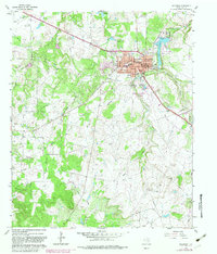
1960 Map of Jacksboro
USGS Topo · Published 1982About this map
Jacksboro serves as the focal point of this Jack County survey, which documents the town's evolution through the mid-20th century. The landscape is marked by the presence of significant civic and community infrastructure, including the County Hospital West, the National Guard Armory, and multiple educational sites such as the Jr High Sch and Linnie Shelton Sch. Outside the town center, the terrain is defined by a network of waterways including Lost Creek, Cleveland Creek, and the West Fork Keechi Creek.
Find a feature on this map
32 named features on this map. Tap any name to fly to it.
Don’t see what you’re looking for? This feature index may not catch every label — zoom into the map to look around manually.
Map Details
Editions of this 1960 Jacksboro Map
3 editions found
Other maps of this area

1954 · Wichita Falls
USGS Topo · 1:250,000

1958 · Wichita Falls
USGS Topo · 1:250,000

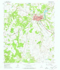
1960 · Jacksboro
USGS Topo · 1:24,000
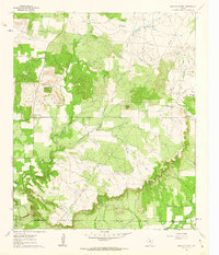
1961 · Bartons Chapel
USGS Topo · 1:24,000
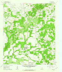
1961 · Perrin
USGS Topo · 1:24,000

1961 · Jacksboro NE
USGS Topo · 1:24,000

1964 · Senate
USGS Topo · 1:24,000

1964 · Cundiff
USGS Topo · 1:24,000

1964 · Johnson Lake
USGS Topo · 1:24,000

1964 · Lynn Creek
USGS Topo · 1:24,000