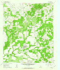
1961 Map of Perrin
USGS Topo · Published 1962About this map
The settlement of Perrin sits at a geographic crossroads in the early 1960s, located at the boundary of Jack, Palo Pinto, and Parker Counties. The landscape reflects a transition from traditional ranching and agriculture to mid-century industrial development, dominated by the Rusmag Field and numerous oil wells scattered across the creek-fed lowlands. Transportation patterns are defined by the presence of an Old Railroad Grade that cuts through the northern portion of the map, suggesting a shift in regional logistics away from rail. Waterways like the East Fork Keechi Creek and Beans Creek wind through the terrain, while landmarks such as Two Bush Knob provide distinct navigational points. Local life is centered around the High Sch, and the community's history is preserved at Perrin Cem and Fairview Cem, offering valuable data for genealogical research into the area's rural families.
Find a feature on this map
18 named features on this map. Tap any name to fly to it.
Don’t see what you’re looking for? This feature index may not catch every label — zoom into the map to look around manually.
Map Details
Editions of this 1961 Perrin Map
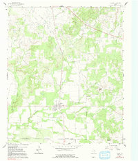
2 editions found
Other maps of this area

1891 · Weatherford
USGS Topo · 1:125,000

1891 · Palo Pinto
USGS Topo · 1:125,000

1893 · Weatherford
USGS Topo · 1:125,000

1918 · Palo Pinto
USGS Topo · 1:125,000

1924 · Palo Pinto 1-b
USGS Topo · 1:48,000

1927 · Mineral Wells
USGS Topo · 1:62,500

1954 · Dallas
USGS Topo · 1:250,000

1954 · Sherman
USGS Topo · 1:250,000

1954 · Abilene
USGS Topo · 1:250,000

1954 · Wichita Falls
USGS Topo · 1:250,000