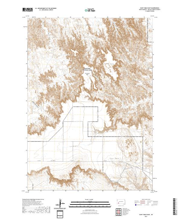
2021 Map of Cuny Table East
USGS Topo · Published 2021About this map
Badlands National Park anchors this South Dakota landscape, where the plateau surfaces of Cuny Table and Stronghold Table rise above a complex network of eroded drainages. The topography is defined by significant elevation changes between flat upland tables and the deep incisions of Battle Creek Canyon and Big Corral Draw. Modern access is provided by BIA Hwy 2 and local routes like Cuny Table Rd, which service this part of the Oglala Lakota territory. Historically significant landforms like Galigo Table and Cactus Flats illustrate the unique geological character of the region. The map captures the spatial relationship between these high, flat prairies and the ephemeral watercourses of Nevis Draw, Quinn Draw, and Cottonwood Cr, highlighting a landscape where geography dictates both settlement patterns and transport corridors.
Find a feature on this map
18 named features on this map. Tap any name to fly to it.
Don’t see what you’re looking for? This feature index may not catch every label — zoom into the map to look around manually.
Map Details
Editions of this 2021 Cuny Table East Map
This is the sole edition of this map. No revisions or reprints were ever made.
Other maps of this area

1950 · Sheep Mountain Table
USGS Topo · 1:24,000

1950 · Stirk Table
USGS Topo · 1:24,000

1950 · Cuny Table East
USGS Topo · 1:24,000

1951 · Heutmacher Table
USGS Topo · 1:24,000

1951 · Rockyford NW
USGS Topo · 1:24,000

1951 · Willow Creek NE
USGS Topo · 1:24,000

1951 · Red Shirt NE
USGS Topo · 1:24,000

1951 · Rockyford
USGS Topo · 1:24,000

1951 · Cuny Table West
USGS Topo · 1:24,000

1955 · Hot Springs
USGS Topo · 1:250,000