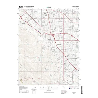
2015 Map of Cupertino
USGS Topo · Published 2015About this map
The Santa Clara County landscape recorded here shows the dense suburban interface with the Santa Cruz Mountains during the mid-2010s. The city of Cupertino serves as a central hub, surrounded by established residential neighborhoods like Rancho Rinconada and Monta Vista. This era is defined by the heavy infrastructure of California 85 and Interstate 280, which slice through the valley floor to connect the major tech corridors of Sunnyvale and San Jose.
Find a feature on this map
52 named features on this map. Tap any name to fly to it.
Don’t see what you’re looking for? This feature index may not catch every label — zoom into the map to look around manually.
Map Details
Editions of this 2015 Cupertino Map
This is the sole edition of this map. No revisions or reprints were ever made.
Other maps of this area

1889 · San Jose
USGS Topo · 1:62,500

1897 · San Jose
USGS Topo · 1:62,500

1897 · Palo Alto
USGS Topo · 1:62,500

1899 · San Jose
USGS Topo · 1:62,500

1899 · Palo Alto
USGS Topo · 1:62,500

1902 · Santa Cruz
USGS Topo · 1:125,000

1916 · New Almaden
USGS Topo · 1:48,000

1919 · New Almaden
USGS Topo · 1:62,500

1940 · Los Gatos
USGS Topo · 1:62,500

1941 · Palo Alto
USGS Topo · 1:62,500