2021 Map of Cupertino
USGS Topo · Published 2021About this map
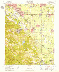
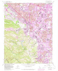
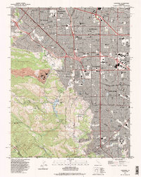
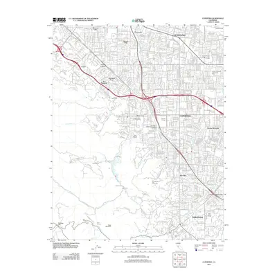
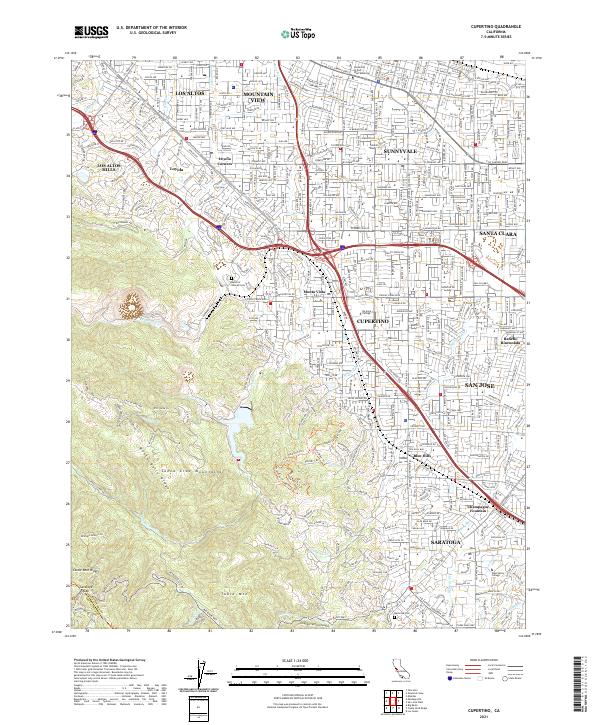
The Santa Cruz Mountains and the rising elevations of Monte Bello Ridge dominate the western portion of this 2021 survey, illustrating the interface between California's coastal ranges and the dense urbanization of the Santa Clara Valley. The landscape transitions from the residential grids of Cupertino, Sunnyvale, and Saratoga into the steep, creek-cut terrain of Castle Rock Ridge. This era shows a fully matured suburban infrastructure, where major transit corridors like I-280 and Ca-85 bisect established neighborhoods such as Monta Vista and Rancho Rinconada.
Find a feature on this map
45 named features on this map. Tap any name to fly to it.
Don’t see what you’re looking for? This feature index may not catch every label — zoom into the map to look around manually.
Map Details
Editions of this 2021 Cupertino Map
This is the sole edition of this map. No revisions or reprints were ever made.
Historical Maps of San Jose Through Time
7 maps found