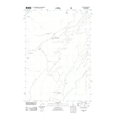
2011 Map of Cuprum
USGS Topo · Published 2011About this map
Cuprum and Landore anchor this high-elevation landscape in Adams County, defined by the drainage networks of Indian Creek and Bear Creek. The map documents the remote access points and infrastructure of the Seven Devils region, including the Seven Devils Airport and the Seven Devils Ranch Landing Strip near the settlement of Bear. The presence of several named gulches, such as Negro Bill Gulch and Negro Jim Gulch, alongside landmarks like Lynes Saddle and Horse Mountain, reflects a history of local land naming tied to the area's difficult topography. A network of Forest Service and local roads, including Council Cuprum Rd and Landore Rd, provides the primary transit through these mountain drainages, connecting the small settlements with sites like Bear Campground and the numerous creek basins that once drove the region's early prospecting and ranching interest.
Find a feature on this map
32 named features on this map. Tap any name to fly to it.
Don’t see what you’re looking for? This feature index may not catch every label — zoom into the map to look around manually.
Map Details
Editions of this 2011 Cuprum Map
This is the sole edition of this map. No revisions or reprints were ever made.
Other maps of this area

1920 · Seven Devils Mining District
USGS Topo · 1:48,000

1955 · Baker
USGS Topo · 1:250,000

1955 · Grangeville
USGS Topo · 1:250,000

1957 · Cuprum
USGS Topo · 1:62,500

1957 · Homestead
USGS Topo · 1:62,500

1957 · Copperfield
USGS Topo · 1:62,500

1957 · Hornet
USGS Topo · 1:62,500

1959 · Baker
USGS Topo · 1:250,000

1959 · Grangeville
USGS Topo · 1:250,000

1980 · McCall
USGS Topo · 1:100,000