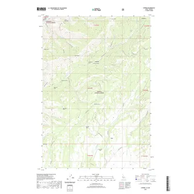
2020 Map of Cuprum
USGS Topo · Published 2020About this map
The Payette National Forest dominates this landscape near the Idaho-Oregon border, where high-elevation ridges drop steeply toward the Snake River. Small mountain communities such as Cuprum and Bear serve as focal points for a network of forest development roads, including Council Cuprum Rd and Landore Rd. The topography is defined by dozens of named drainages like Hathaway Gulch, Hitchcock Gulch, and Summit Gulch, reflecting a history of local mining and timber activity in the region.
Find a feature on this map
53 named features on this map. Tap any name to fly to it.
Don’t see what you’re looking for? This feature index may not catch every label — zoom into the map to look around manually.
Map Details
Editions of this 2020 Cuprum Map
This is the sole edition of this map. No revisions or reprints were ever made.
Other maps of this area

1920 · Seven Devils Mining District
USGS Topo · 1:48,000

1955 · Baker
USGS Topo · 1:250,000

1955 · Grangeville
USGS Topo · 1:250,000

1957 · Cuprum
USGS Topo · 1:62,500

1957 · Homestead
USGS Topo · 1:62,500

1957 · Copperfield
USGS Topo · 1:62,500

1957 · Hornet
USGS Topo · 1:62,500

1959 · Baker
USGS Topo · 1:250,000

1959 · Grangeville
USGS Topo · 1:250,000

1980 · McCall
USGS Topo · 1:100,000