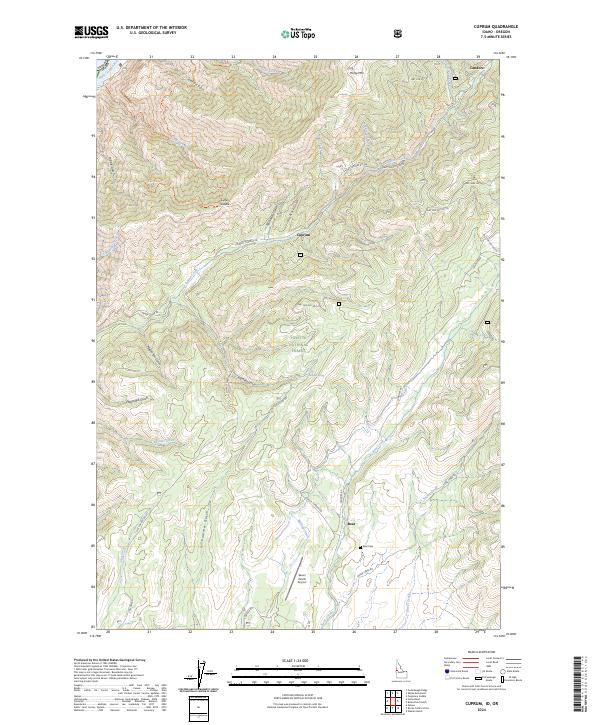
2024 Map of Cuprum
USGS Topo · Published 2024About this map
Cuprum and the settlement of Bear anchor this section of the Payette National Forest, where steep gulches and high ridges define the landscape of the Seven Devils area. The map documents the persistent network of mountain routes, including Council Cuprum Rd and Landore Rd, which trace the path of earlier mining and ranching interests in Adams County. Genealogy researchers can find the Bear Cem located south of the settlement, while the Seven Devils Airport provides a remote landing point near Wickiup Creek. High peaks like Horse Mtn and gaps such as Lynes Saddle overlook a complex drainage system where Indian Creek and Bear Creek carve through the terrain. The northwestern corner reveals the edge of the Hells Canyon Reservoir, marking the boundary where Idaho's high country drops toward the Snake River.
Find a feature on this map
49 named features on this map. Tap any name to fly to it.
Don’t see what you’re looking for? This feature index may not catch every label — zoom into the map to look around manually.
Map Details
Editions of this 2024 Cuprum Map
This is the sole edition of this map. No revisions or reprints were ever made.
Other maps of this area

1920 · Seven Devils Mining District
USGS Topo · 1:48,000

1955 · Baker
USGS Topo · 1:250,000

1955 · Grangeville
USGS Topo · 1:250,000

1957 · Cuprum
USGS Topo · 1:62,500

1957 · Homestead
USGS Topo · 1:62,500

1957 · Copperfield
USGS Topo · 1:62,500

1957 · Hornet
USGS Topo · 1:62,500

1959 · Baker
USGS Topo · 1:250,000

1959 · Grangeville
USGS Topo · 1:250,000

1980 · McCall
USGS Topo · 1:100,000