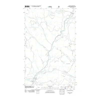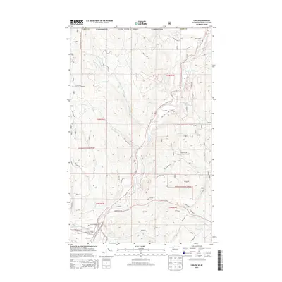
1988 Map of Curlew
USGS Topo · Published 1988About this map
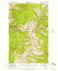
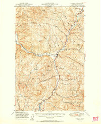
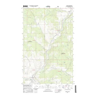
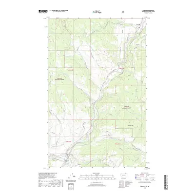
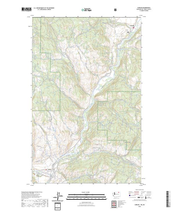
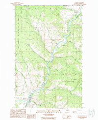
The Kettle River valley serves as the primary corridor for settlement and industry in this northern Washington terrain, documented during the late twentieth century. Running from the border with Canada down to the community of Curlew, the river's path is flanked by the high ridges of the Colville National Forest. The map captures the interface between the agricultural valley floor and the industrial history of the uplands, noted by several mineshafts, open pit workings, and various prospects scattered near Shasket Creek.
Find a feature on this map
33 named features on this map. Tap any name to fly to it.
Don’t see what you’re looking for? This feature index may not catch every label — zoom into the map to look around manually.
Map Details
Editions of this 1988 Curlew Map
This is the sole edition of this map. No revisions or reprints were ever made.
Historical Maps of Curlew Through Time
9 maps found