
Loading...
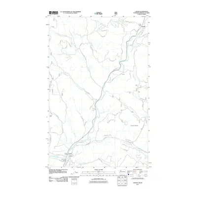
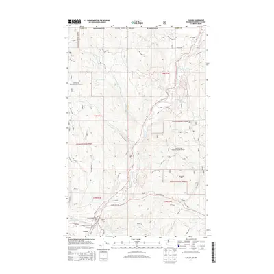
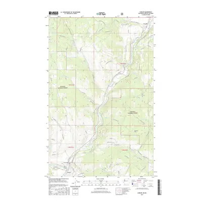
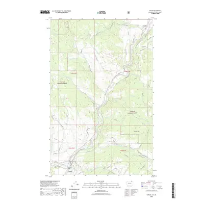
Loading map...1992 Map of Curlew
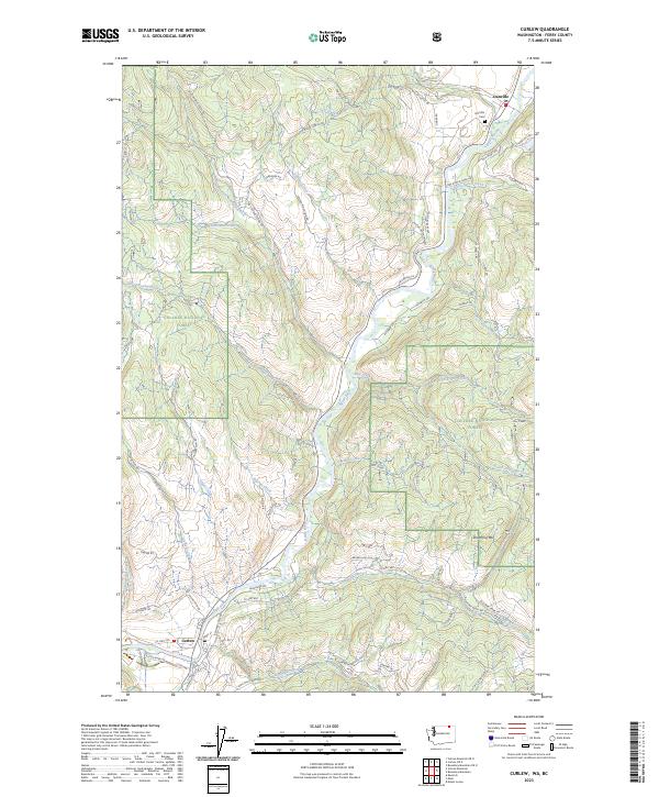
USGS Topo · Published 1997About this map
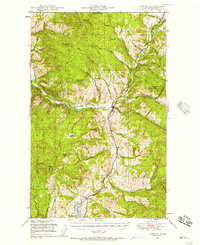
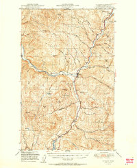
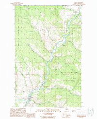
The Kettle River defines this northern Washington landscape, winding through a valley shaped by timber and mining interest at the edge of the Colville National Forest. The settlement of Curlew serves as a focal point near the southern map edge, featuring the Curlew Administration Site and a Landing Strip, while the community of Danville sits at the very top of the sheet, abutting the Canada United States border.
Find a feature on this map
33 named features on this map. Tap any name to fly to it.
Don’t see what you’re looking for? This feature index may not catch every label — zoom into the map to look around manually.
Map Details
Date Portrayed1992
Date Published1997
PublisherU.S. Geological Survey
Map TypeTopographic
Scale1:24,000
Physical Dimensions22.2 x 27.1 inches
Editions of this 1992 Curlew Map
This is the sole edition of this map. No revisions or reprints were ever made.
Historical Maps of Curlew Through Time
9 maps found
Featured Locations
Source Details
SourceU.S. Geological Survey
CopyrightPublic Domain