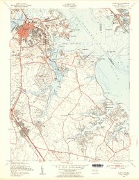
1949 Map of Curtis Bay
USGS Topo · Published 1954About this map
Fort Carroll stands as a sentinel in the Patapsco River, marking the entrance to a landscape defined by heavy industry and post-war residential expansion. In the late 1940s, the industrial hubs of Masonville, Fairfield, and Wagners Point dominate the northern shoreline, while the U S Ordnance Depot occupies a significant tract along Curtis Creek. The map documents the rapid suburban growth of Harundale and Glen Gardens, showing a network of new streets contrasting with the older, established neighborhoods of Brooklyn and Curtis Bay.
Find a feature on this map
124 named features on this map. Tap any name to fly to it.
Don’t see what you’re looking for? This feature index may not catch every label — zoom into the map to look around manually.
Map Details
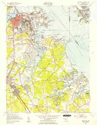
Editions of this 1949 Curtis Bay Map
2 editions found
Other maps of this area

1893 · North Point
USGS Topo · 1:62,500

1893 · Gunpowder
USGS Topo · 1:62,500

1894 · Baltimore
USGS Topo · 1:62,500

1894 · Relay
USGS Topo · 1:62,500

1898 · Tolchester
USGS Topo · 1:125,000

1899 · Baltimore
USGS Topo · 1:62,500

1901 · Gunpowder
USGS Topo · 1:62,500

1903 · Tolchester
USGS Topo · 1:125,000

1904 · Baltimore
USGS Topo · 1:62,500

1904 · North Point
USGS Topo · 1:62,500