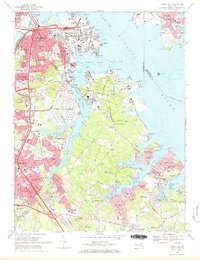
1969 Map of Curtis Bay
USGS Topo · Published 1971About this map
The industrial and residential landscape of northern Anne Arundel County is documented in this 1969 survey, showing the expansion of Glen Burnie and the densely developed neighborhoods of Brooklyn and Curtis Bay. This era is defined by massive infrastructure along the Patapsco River, where the Curtis Bay GSA Depot and various sewage disposal sites sit alongside heavy rail lines like the Penn Central and Baltimore and Ohio. To the south, the map reveals a shift toward suburban and waterfront living, with numerous named beaches such as Powhatan Beach, Orchard Beach, and Rock Hill Beach lining the intricate inlets of Marley Creek and Stony Creek. Cultural and community anchors are well-represented, ranging from the Cedar Hill Cemetery and Glen Haven Memorial Park to institutions like North Arundel Hospital and the Dundalk Vocational School.
Find a feature on this map
140 named features on this map. Tap any name to fly to it.
Don’t see what you’re looking for? This feature index may not catch every label — zoom into the map to look around manually.
Map Details
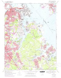
Editions of this 1969 Curtis Bay Map
2 editions found
Other maps of this area

1893 · North Point
USGS Topo · 1:62,500

1893 · Gunpowder
USGS Topo · 1:62,500

1894 · Baltimore
USGS Topo · 1:62,500

1894 · Relay
USGS Topo · 1:62,500

1898 · Tolchester
USGS Topo · 1:125,000

1899 · Baltimore
USGS Topo · 1:62,500

1901 · Gunpowder
USGS Topo · 1:62,500

1903 · Tolchester
USGS Topo · 1:125,000

1904 · Baltimore
USGS Topo · 1:62,500

1904 · North Point
USGS Topo · 1:62,500