Loading...
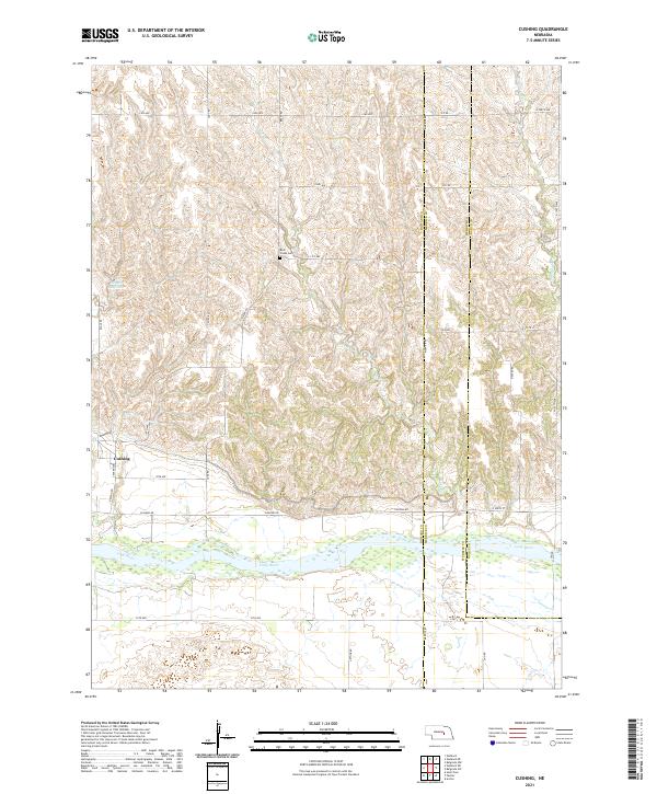
Loading map...2021 Map of Cushing
USGS Topo · Published 2021About this map
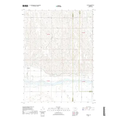
The Loup River flows through the southern portion of this Nebraska landscape, defining the topography where the river valley meets the rolling uplands of the Cushing area. The small settlement of Cushing sits at the intersection of Denton Rd and 18th Ave, serving as a local hub for the surrounding agricultural community. To the north, the landscape is dissected by several drainages, including Rock Cr and Cottonwood Cr, which have shaped the local terrain over generations.
Find a feature on this map
38 named features on this map. Tap any name to fly to it.
Don’t see what you’re looking for? This feature index may not catch every label — zoom into the map to look around manually.
Map Details
Date Portrayed2021
Date Published2021
PublisherU.S. Geological Survey
Map TypeTopographic
Scale1:24,000
Physical Dimensions24 x 29 inches
Editions of this 2021 Cushing Map
This is the sole edition of this map. No revisions or reprints were ever made.
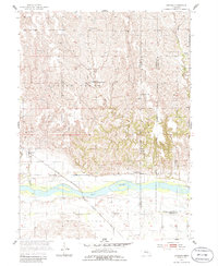
Historical Maps of Cushing Through Time
5 maps found
Featured Locations
Source Details
SourceU.S. Geological Survey
CopyrightPublic Domain