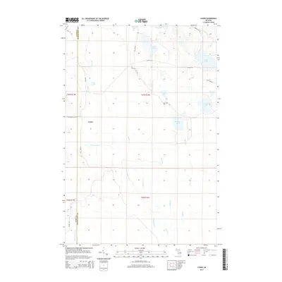
2014 Map of Cusino
USGS Topo · Published 2014About this map
Cusino marks a sparse settlement point in the Upper Peninsula's forested interior, where the border between Alger and Schoolcraft counties divides a landscape defined by an intricate network of water. The Creighton River and its various tributaries, including Stoner Cr and Shotgun Cr, drain a region dotted with numerous named basins such as Gemini Lakes, Worchester Lake, and Canoe Lake. The infrastructure of the area is largely composed of unpaved access routes like Melstrand Truck Trl and Wolf Lake Rd, reflecting a geography shaped by timber and conservation rather than dense urban growth. This 2014 survey documents the hydrography of the northern lake country, capturing the precise locations of small water bodies like Stoner Pond and Silver Lake that have long served as landmarks for those navigating these remote Michigan woodlands.
Find a feature on this map
31 named features on this map. Tap any name to fly to it.
Don’t see what you’re looking for? This feature index may not catch every label — zoom into the map to look around manually.
Map Details
Editions of this 2014 Cusino Map
This is the sole edition of this map. No revisions or reprints were ever made.
Other maps of this area

1931 · Shingleton SW
USGS Topo · 1:31,680

1931 · Shingleton NE
USGS Topo · 1:31,680

1931 · Driggs Lake NW
USGS Topo · 1:31,680

1931 · Shingleton SE
USGS Topo · 1:31,680

1931 · Driggs Lake SW
USGS Topo · 1:31,680

1958 · Shingleton
USGS Topo · 1:62,500

1958 · Grand Portal Point
USGS Topo · 1:62,500

1958 · Marquette
USGS Topo · 1:250,000

1960 · Marquette
USGS Topo · 1:250,000

1961 · Marquette
USGS Topo · 1:250,000