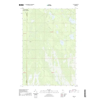
2019 Map of Cusino
USGS Topo · Published 2019About this map
Cusino sits as a central point of human settlement within this interior section of the Upper Peninsula, located at the boundary of Alger and Schoolcraft Counties. The landscape is defined by an extensive network of wetlands and small water bodies, notably the Creighton Marsh and the headwaters of the Creighton River. The northwestern corner of the sheet includes a portion of the Pictured Rocks National Lakeshore, indicating the proximity of the Lake Superior coastline just beyond the map's edge. A complex system of forest roads and trails, such as the Twin Lake Truck Trl and Camp Rd, crisscross the area, serving the many interior lakes like Worchester Lake and Gemini Lakes. The drainage pattern, including Shotgun Cr and Marsh Creek, highlights the low-lying, water-rich environment characteristic of this part of the Hiawatha Township region.
Find a feature on this map
36 named features on this map. Tap any name to fly to it.
Don’t see what you’re looking for? This feature index may not catch every label — zoom into the map to look around manually.
Map Details
Editions of this 2019 Cusino Map
This is the sole edition of this map. No revisions or reprints were ever made.
Other maps of this area

1931 · Shingleton SW
USGS Topo · 1:31,680

1931 · Shingleton NE
USGS Topo · 1:31,680

1931 · Driggs Lake NW
USGS Topo · 1:31,680

1931 · Shingleton SE
USGS Topo · 1:31,680

1931 · Driggs Lake SW
USGS Topo · 1:31,680

1958 · Shingleton
USGS Topo · 1:62,500

1958 · Grand Portal Point
USGS Topo · 1:62,500

1958 · Marquette
USGS Topo · 1:250,000

1960 · Marquette
USGS Topo · 1:250,000

1961 · Marquette
USGS Topo · 1:250,000