Loading...
Loading map...1963 Map of Cut Off
USGS Topo · Published 1970About this map
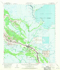
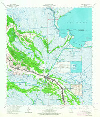
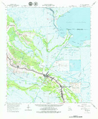
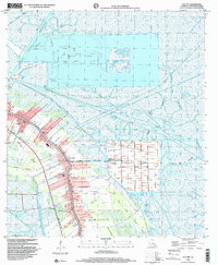
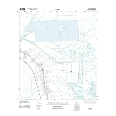
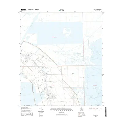
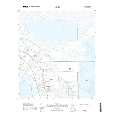
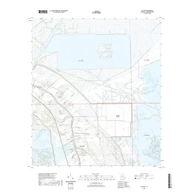
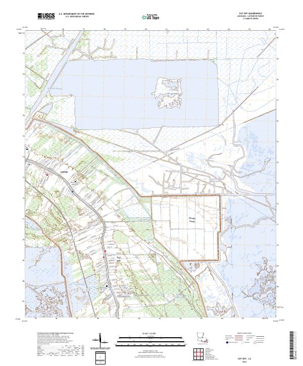
Bayou des Allemands and the vast waters of Lake Salvador dominate this 1963 survey of the Louisiana wetlands. The map centers on the concentrated ribbon of development along Bayou Lafourche, where the settlements of Larose and Cut Off serve as hubs for the region's water-based economy. The landscape is a complex network of industrial and agricultural drainage, including the Forty Arpent Canal and the Intracoastal Waterway, which cuts across the marshy terrain.
Find a feature on this map
72 named features on this map. Tap any name to fly to it.
Don’t see what you’re looking for? This feature index may not catch every label — zoom into the map to look around manually.
Map Details
Date Portrayed1963
Date Published1970
PublisherU.S. Geological Survey
Map TypeTopographic
Scale1:62,500
Physical Dimensions18 x 20.9 inches
Editions of this 1963 Cut Off Map
3 editions found
Historical Maps of Tabatiere Perdue Through Time
8 maps found
Featured Locations
Source Details
SourceU.S. Geological Survey
CopyrightPublic Domain