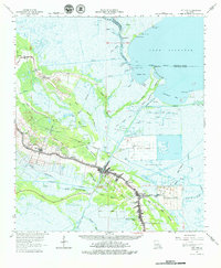
1963 Map of Cut Off
USGS Topo · Published 1979About this map
Lafourche Bayou anchors the settlement pattern of this 1960s coastal landscape, where narrow strips of developed land follow the natural levees between sprawling marsh and open water. The linear communities of Valentine, Ludevine, Larose, and Cut Off form a continuous thread of activity along the water, supported by the Larose-Lafitte Highway and the Valentine-South Pacific Road. This era reveals a transition toward industrial extraction, evidenced by the Dixie Delta Gas Field and several drill holes dotting the wetlands.
Find a feature on this map
67 named features on this map. Tap any name to fly to it.
Don’t see what you’re looking for? This feature index may not catch every label — zoom into the map to look around manually.
Map Details
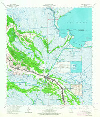
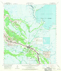
Editions of this 1963 Cut Off Map
3 editions found
Other maps of this area

1891 · Hahnville
USGS Topo · 1:62,500

1891 · New Orleans
USGS Topo · 1:62,500

1892 · Barataria
USGS Topo · 1:62,500

1892 · Lac Des Allemands
USGS Topo · 1:62,500

1892 · Cut-Off
USGS Topo · 1:62,500

1892 · Houma
USGS Topo · 1:62,500

1892 · Creole
USGS Topo · 1:62,500

1894 · Lake Felicity
USGS Topo · 1:62,500

1894 · Dulac
USGS Topo · 1:62,500

1932 · Houma SE
USGS Topo · 1:31,680