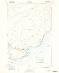
1951 Map of Cutler
USGS Topo · Published 1951About this map
Cutler sits at the head of its protected harbor, serving as a maritime center where the Little River meets the Grand Manan Channel. The landscape is defined by parallel rock formations like Cutler Ridge, French Ridge, and Schooner Ridge, interspersed with coastal heaths such as Harmon Heath. This 1951 edition highlights the area's rural character, showing the Little Machias School and Head of the River Church as community anchors. The maritime importance is emphasized by the Little River Lighthouse standing on Little River Island, guarding the entrance to Cutler Harbor. Genealogists may find interest in the Old Cutler Cemetery and Bay View Cemetery, while the presence of Ruins and a Chimney near the shoreline suggests earlier coastal structures. The mapping of Little Machias Bay and various prominent points, including Western Head and Great Head, provides a detailed record of the jagged coastline prior to mid-century development.
Find a feature on this map
64 named features on this map. Tap any name to fly to it.
Don’t see what you’re looking for? This feature index may not catch every label — zoom into the map to look around manually.
Map Details
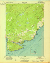
Editions of this 1951 Cutler Map
2 editions found
Other maps of this area

1907 · Eastport
USGS Topo · 1:48,000

1908 · Eastport
USGS Topo · 1:62,500

1917 · Cutler
USGS Topo · 1:62,500

1918 · Machias
USGS Topo · 1:62,500

1918 · Cutler
USGS Topo · 1:62,500

1941 · Machias
USGS Topo · 1:62,500

1941 · Gardner Lake
USGS Topo · 1:62,500

1943 · Gardner Lake
USGS Topo · 1:62,500

1943 · Eastport
USGS Topo · 1:62,500

1945 · Eastport
USGS Topo · 1:62,500