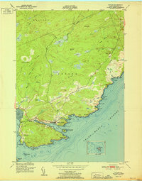
1951 Map of Cutler
USGS Topo · Published 1951About this map
The coastal village of Cutler sits at the mouth of the Little River, serving as a focal point for this 1951 survey of Washington County. The settlement pattern is deeply tied to the shore, with historic structures like the Head of the River Ch and the Old Cutler Cem clustered near the harbor. To the west, the smaller community of Little Machias is marked by the Little Machias Sch and Bay View Cem, reflecting the era's localized educational and social hubs.
Find a feature on this map
54 named features on this map. Tap any name to fly to it.
Don’t see what you’re looking for? This feature index may not catch every label — zoom into the map to look around manually.
Map Details
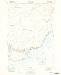
Editions of this 1951 Cutler Map
2 editions found
Other maps of this area

1907 · Eastport
USGS Topo · 1:48,000

1908 · Eastport
USGS Topo · 1:62,500

1917 · Cutler
USGS Topo · 1:62,500

1918 · Machias
USGS Topo · 1:62,500

1918 · Cutler
USGS Topo · 1:62,500

1941 · Machias
USGS Topo · 1:62,500

1941 · Gardner Lake
USGS Topo · 1:62,500

1943 · Gardner Lake
USGS Topo · 1:62,500

1943 · Eastport
USGS Topo · 1:62,500

1945 · Eastport
USGS Topo · 1:62,500