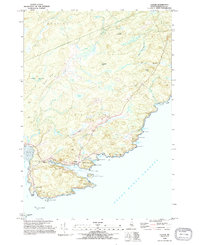
1993 Map of Cutler
USGS Topo · Published 1995About this map
Western Head and the jagged coastline of Washington County define this coastal landscape, where the Grand Manan Channel meets the rocky inlets of Down East Maine. The settlement of Cutler sits protected within Little Harbor, showing a maritime community organized around the water's edge. Local history is anchored by landmarks like the Head of the River Ch, Old Cutler Cem, and a Lighthouse standing watch over Little River Island. Further west, the map details the smaller cluster at Little Machias near the Tidal Flat of Machias Bay. Inland, the terrain rises into ridges such as Pond Ridge and French Ridge, interspersed with wetlands like Harmon Heath and Crotched Meadows. This 1993 field-checked data preserves the location of remote coastal features like Eastern Knubble and Fairy Head before the turn of the millennium.
Find a feature on this map
61 named features on this map. Tap any name to fly to it.
Don’t see what you’re looking for? This feature index may not catch every label — zoom into the map to look around manually.
Map Details
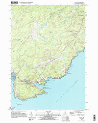
Editions of this 1993 Cutler Map
2 editions found
Other maps of this area

1907 · Eastport
USGS Topo · 1:48,000

1908 · Eastport
USGS Topo · 1:62,500

1917 · Cutler
USGS Topo · 1:62,500

1918 · Machias
USGS Topo · 1:62,500

1918 · Cutler
USGS Topo · 1:62,500

1941 · Machias
USGS Topo · 1:62,500

1941 · Gardner Lake
USGS Topo · 1:62,500

1943 · Gardner Lake
USGS Topo · 1:62,500

1943 · Eastport
USGS Topo · 1:62,500

1945 · Eastport
USGS Topo · 1:62,500